Your phone app is saying snow? We can explain why


Over the weekend, so many folks asked me "Is it really going to snow the week of the 19th?" My standard answer was "It's January. It might..."
But, as more and more folks began to ask, I began to wonder why they were asking specifically about that week and where they were getting their "snow" forecast from.
They all said, that's what my phone says ... Ahhhh, the phone forecast ... Let's talk about that for a moment.
Here's a truth about most phone forecasts, they aren't ever looked at by a human.
They take a computer model (usually only one of many) that updates 3, 6, or sometimes, 12 hours.
The app then generates a forecast, and pushes it out to your phone. And because it generates one with every model, for a typical day in the forecast it may show snow in the morning, then later on show sun in the afternoon for the same day.
It's because the model changed. My guess is (and it's just my opinion) that the apps take the worst of the models and use them to make a forecast that gets you to click on it.
Here's an example of what I'm talking about. Let's look at two models and what they are saying.
First the European model. We are looking at Sunday evening. Notice over North Carolina we aren't seeing any green. In other words it's dry.
Also, a quick reference that some meteorologists use is the I-540 line (the darker blue one).
Typically, everything to the left or north of that line would be colder than freezing at the surface, to the right or south, warmer than freezing. The 540 line is north of the area giving us above freezing temps.
Now let's look at the GFS model. It paints a completely different picture, literally. First we look at the 540 line and it's WAY south; colder air.
Then there's green over NC, those two factors show snow for us.
That does not mean it's going to snow. But checking a couple of the weather apps over the weekend (not the ABC11), and sure enough they had snow.
So which model do I believe? Well, I tend to look at a lot of models (including those called "ensembles") and blend them together, using my experience in forecasting, to make our own forecasts.
My friend, Brad Panovich, is a meteorologist over in Charlotte. He compares long range forecasts to a game of golf.
When you first hit the ball, you're just trying to get it in the fairway. Then as you get closer to the green, you're narrowing the ball's target down to a tiny hole.
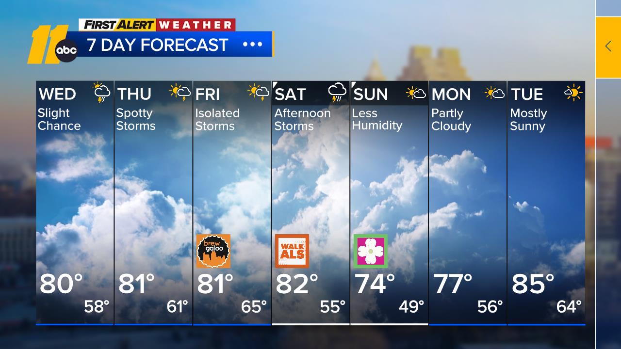
Same with long range forecasting. When we look seven days out, we are just looking to see if it's clear, or it's going to rain/snow by day 7.
As we get closer, we narrow it down to what type of precipitation we'll see, and where it will hit.
For 7-10 days from now, I'm just trying for the fairway. Anyone who tells you they know what it will be for sure in 10 days is just trying to get your click ...


