Storm brings large hail, fierce rain

RALEIGH (WTVD) -- A powerful disturbance brought large hail, heavy rain and some flooding concerns to Central North Carolina Monday evening.
Indeed, the storms that developed in the afternoon and early evening produced large hail. Golf-ball-sized hail was reported around 6 p.m. near I-85 and the Durham Freeway.
Smaller hail - the size of pennies - was observed around Fuquay-Varina earlier in the afternoon.
Through the rest of the evening, scattered showers and thunderstorms tracked across the region.
The threat of severe weather diminished by the evening hours and by 2 a.m. Tuesday, the storms moved out of the region.
The biggest threats were large hail - perhaps more of those golf-balls-sized nuggets, and damaging winds in excess of 60 mph.
Drier and more stable air pushed into central North Carolina overnight.
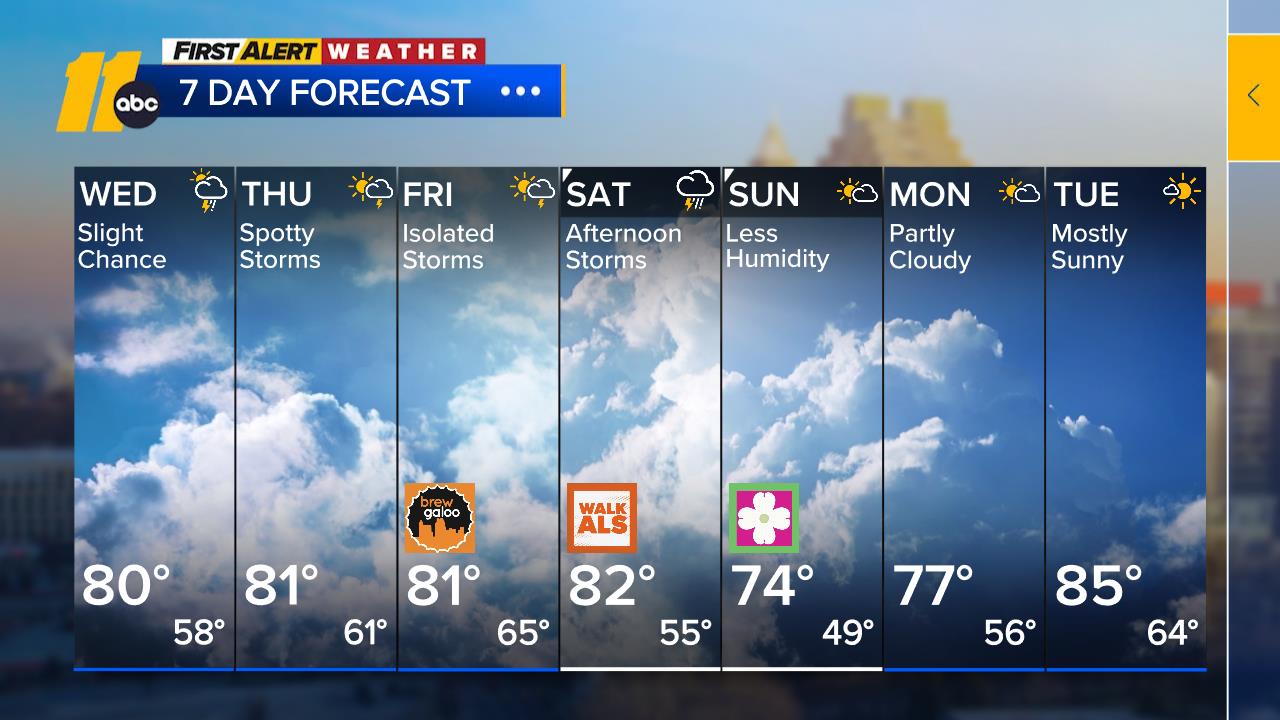
Wednesday will be the warmest day of this year, so far, as sunshine boosts afternoon readings into the low to mid 80s. Afternoon temperatures will be around 20 degrees above the average for the middle of March.
An approaching frontal system may set off a shower or thunderstorm in spots late on Wednesday or Wednesday night. That front will start a cooling trend that will see daily high temperatures drop to the middle 70s on Thursday, about 70 on Friday, and into the 60s over the weekend.
There is also a chance for rain at some point this weekend, but the timing is still uncertain.


