Sn-OMG! Here we SNOW again ...


Here we go again. SNOW! Get your bread, get your milk, and get your eggs. You might need to make French toast! ;)
Seriously, I had to mention the s-word this morning, but at this point it's kind of a long shot. Here's what may be head our way, 6 days from now. First of all, we talk about cold air.
We are going to see a big dip in the Jet Stream next week.
As the jet dips south, it will allow the coldest air in February to arrive. You can see the big purple area by Wednesday morning. That's the arrival of cold air.
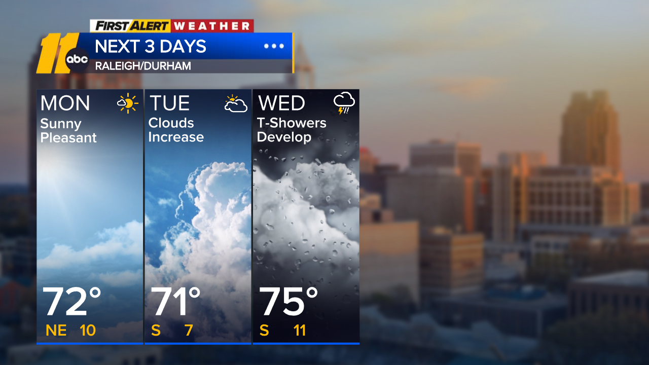
Highs by next Tuesday could hover around 40 degrees. Lows will dip into the mid-20s Tuesday night into Wednesday.
So cold air moves into place. That's the first part of the equation. Let's look at the second part, precipitation.
The last time we had snow, the models were showing a coastal low start to form several days out. It just kept getting bigger and bigger as we got closer to the event.
This time it's a little different. The system would drop out of the Midwest. Typically, the mountains will tear those systems apart.
The GFS model, which is the most aggressive, only shows 1" or less at this point, with higher amounts in the mountains.
The European model shows us missing out on any snow.
This far out, I'd put the chance of any snow 20 percent or less. But with the cold air in place Tuesday night/Wednesday morning, if we do see ANY precipitation, it should be white.
At this point, if your kids have a test at school on Wednesday, they should plan on being there to take it. But we'll keep an eye on it ...
Check out Don's posts in the ABC11 weather blog
Click here to download the ABC11 First Alert Weather app.


