A few storms today, very humid

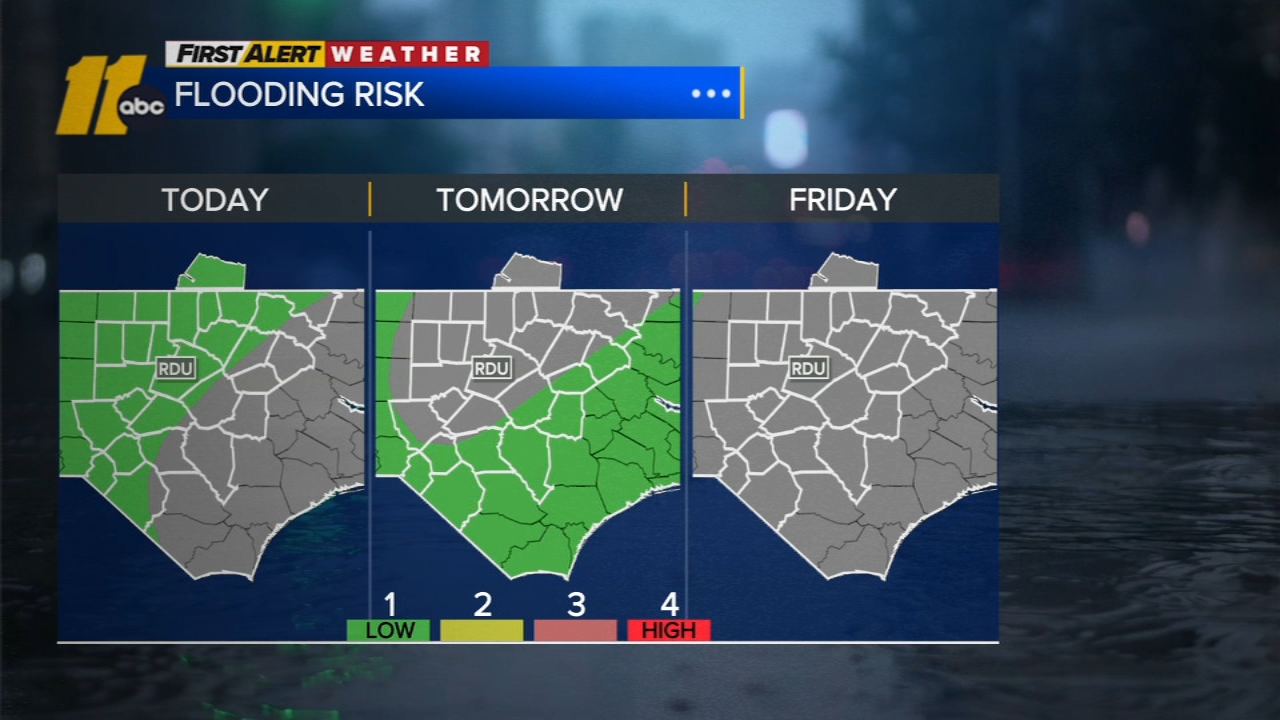
RALEIGH, N.C. (WTVD) -- First Alert: Afternoon storms will be possible each day through the end of the week, but the threat of flooding is expected to decrease by midweek and through the weekend.
Good Wednesday morning! Showers and isolated thundershowers will continue to drift northward across the area into the morning, with a few additional showers and thunderstorms during the afternoon as instability increases into the day.
It remains humid with temps and dew points in the middle 70s. Highs will be in the mid/upper 80s today.
The deepest moisture begins to shift out of the region later in the week, reducing thunderstorm coverage and the threat of flooding downpours. Spotty afternoon thunderstorms will persist through the weekend. Starting Thursday, highs climb back into the 90s.
The rainfall may not feel welcome after the past month's wet weather, but it will continue to help alleviate the ongoing drought. Much of the state remains in some level of drought, with only the Outer Banks and a small portion of the Appalachians free of drought designation. Much of the extreme drought and nearly all of the exceptional drought have been erased thanks to July's near-record rainfall. As a reminder, RDU recorded its second-wettest July on record with 12.16 inches of rain, with the 95-year-old record of 12.36 inches set in 1931 able to hang on by a thread!
No tropical development is expected in the next 7 days.
Have a good day!
Kweilyn