Turning hotter with less storm chances to end the week

RALEIGH, N.C. (WTVD) -- First Alert: Daily spotty showers and storms will be possible through the weekend. Highs will be in the 90s, with feels-like temps around 100 this weekend. Dangerous heat levels arrive early next week, with afternoon feels-like temps around 105.
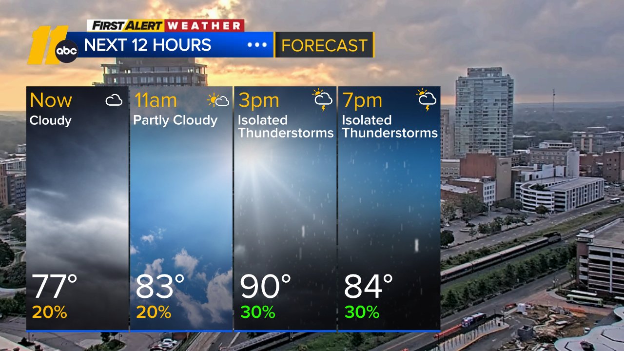
Good Thursday morning! Another humid day is in store with the strong Bermuda high over the western Atlantic. This'll help spark spotty thunderstorms this afternoon. Out-the-door temps are in the 70s. Highs will be in the upper 80s to low 90s today with feels-like temps in the mid/upper 90s.
Central NC will be sandwiched between the best coverage of thunderstorms, which will be east and west of us. Other than a few lingering evening t-storms, the night will be partly cloudy and very humid.
Spotty afternoon thunderstorm chances will persist through the weekend.
The Bermuda high will weaken on Saturday, which will allow for a trough to slide eastward into the Northeast. The additional energy, along with daytime heating and plenty of moisture, will lead to a few showers and storms Saturday night.
Most of the weekend and into Monday to be mostly dry outside of spotty showers and storms. Expect a mix of sun and clouds with highs in the low to mid 90s.
No tropical development is expected in the next 7 days.
Have a good day!
Kweilyn