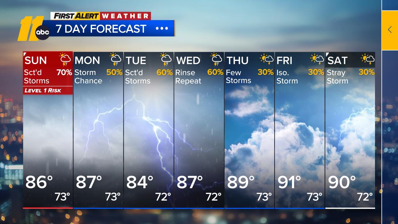
First Alert Day: Isolated strong storms, heavy rain possible this afternoon

RALEIGH, N.C. (WTVD) -- It's a First Alert Day for a few isolated strong storms this afternoon and evening.
The Storm Prediction Center has scaled back the severe weather risk, with the threat now focused mainly along and west of I-85. While widespread severe weather is not expected, a few storms could still produce gusty winds and heavy rain.
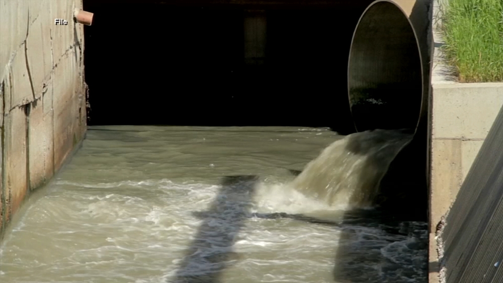
The overall upper-level weather pattern will remain favorable for daily storm chances through at least midweek. With plenty of moisture in the atmosphere, any storm will be capable of producing heavy downpours. Because of that, the Weather Prediction Center continues to highlight a low-end flash flood threat from today through Tuesday.
Rain and storm coverage should begin to decrease later this week, dropping to around 30%. High temperatures will climb back near 90, which is right on par with what we typically see in early August.
The tropics remain quiet, with no development expected over the next seven days. That said, a couple of forecast models continue to hint at an area of low pressure developing off the Southeast coast by next weekend. It's something we'll keep an eye on, but there is no immediate concern.
Have a great day!
Steve Stewart