Severe Risk Tuesday Evening

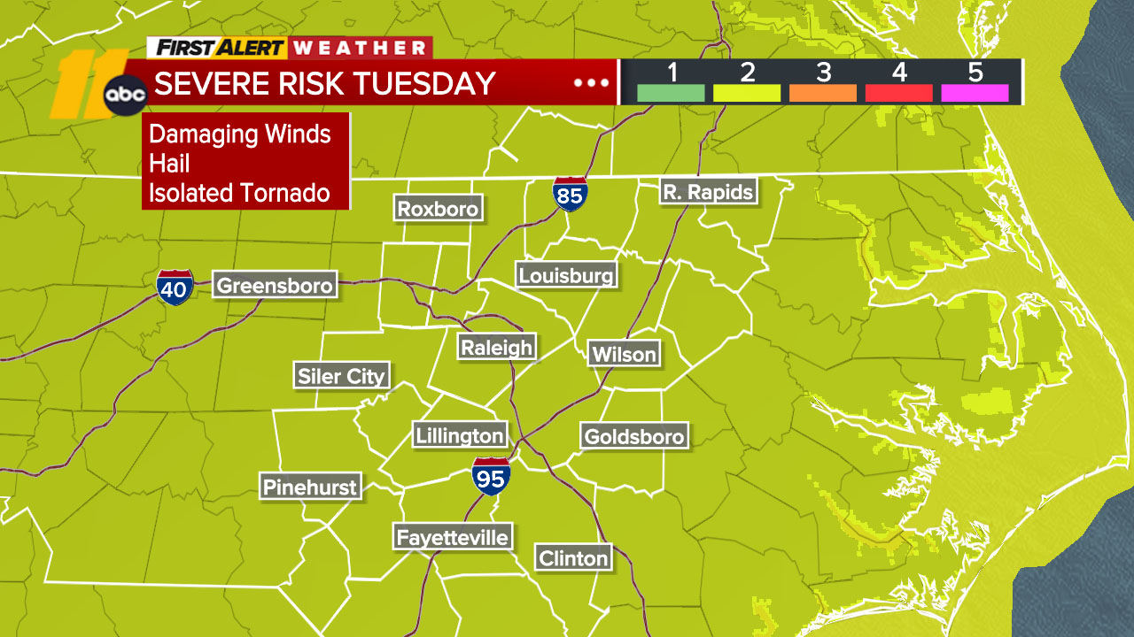
RALEIGH, N.C. (WTVD) -- First Alert Day-Tuesday: There is a slight risk (level 2 of 5) of severe storms Tuesday afternoon and evening. The main threat is damaging wind gusts, but large hail and isolated tornadoes will also be possible.
Tuesday likely starts off dry in most areas. It will be a warm and muggy day with highs in the low 90s. Storms will develop in the afternoon and continue through Tuesday evening. Damaging winds will be the main risk, but hail and isolated tornadoes will be possible.
One possible limiting factor to the storms could be cloud cover. How storms moving out of the Midwest hold together overnight will determine how much cloud cover we see on Tuesday. If we see more cloud cover, this would limit the overall severe potential.
Thunderstorms should be out of the area by Wednesday morning, making for a nice day with temperatures in the upper 80s and lower humidity.
High pressure builds in for the rest of the week, locking in temperatures in the upper 80s and dew points in the low to mid-60s.
The next opportunity for precipitation looks to be toward the second half of the weekend and early next week.
Have a great Tuesday!
Cruz Medina