More strong storms possible this evening | Live Radar

WTVD logo
LIVE: First Alert Doppler Radar

RALEIGH, N.C. (WTVD) -- It's a First Alert Day as another round of scattered showers and storms will be possible this evening. A few storms could be strong with brief downpours. Downpours may lead to minor street flooding. There is an isolated severe risk for damaging winds.

Winds of up to 60 mph and damaging hail are possible, the National Weather Service said for parts of southern Wake County as well as Lee County, Harnett County and Chatham County through late evening. A Severe Thunderstorm Warning for the area expired at 11 p.m.

CLICK HERE FOR ALL SEVERE WEATHER ALERTS

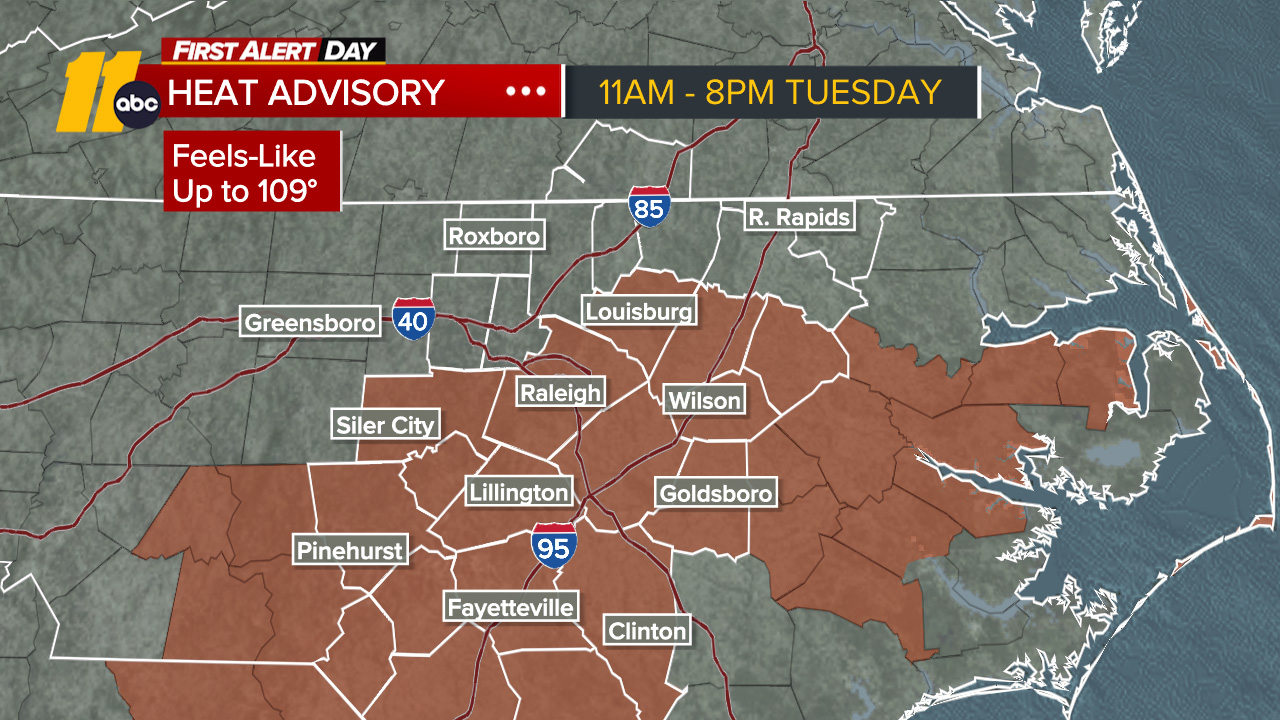
First Alert -- Hot & Humid: Temps will climb back into the mid/upper 90s later this week, with feels-like temps as high as 105.

In Durham, power outages after Tuesday night's strong storms affected traffic lights, businesses and a school summer camp.

A front will remain stationary over the region. This will lead to a persistent summertime pattern of afternoon and evening showers and thunderstorms. Areas of fog and low visibility will be possible tonight, especially where the heaviest rain fell on previous days.

Each day through the end of the work week is expected to trend a degree or two hotter as afternoon temperatures climb into the lower and middle 90s. Combined with continued high humidity, feels-like temps will reach or exceed 100 degrees through Saturday.

A weak front approaching later in the weekend should bring at least modest relief beginning Sunday, with temperatures easing back closer to seasonal averages. Highs Saturday will be in the mid 90s. Highs Sunday will be in the upper 80s.

By early next week, the boundary shifts firmly south as high pressure builds over the region. This'll lead to a dry and seasonable stretch of weather into the midweek with the heat dome firmly established in the West.

Have a great evening!
Cruz Medina


Copyright © 2026 WTVD-TV. All Rights Reserved.