Quieter weather through the end of the week

RALEIGH, N.C. (WTVD) -- After a stormy night, we're heading into a very pleasant stretch of weather.
Raleigh is on track to finish July as the second-wettest July on record, and Thursday's drought monitor should reflect some meaningful improvements across the area.
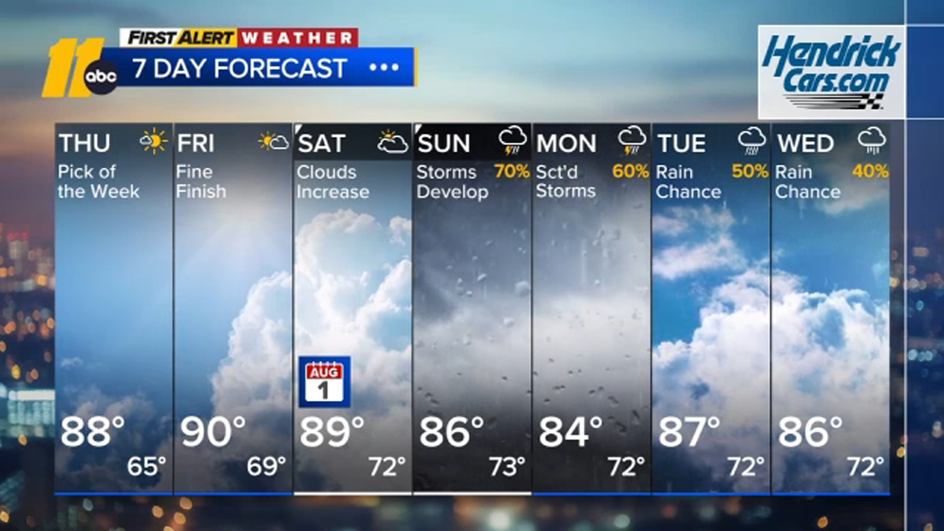
Humidity levels will be lower for the next couple of days, with highs staying below the average of 91, making it a great time to get outside and enjoy the weather.
A pattern change arrives this weekend as clouds and humidity begin increasing Saturday. Showers and thunderstorms look more likely Sunday and could linger into early next week. While Monday remains unsettled with scattered storms, both Tuesday and Wednesday will also carry at least a chance for afternoon and evening thunderstorms.
Have a great evening!
Steve Stewart