Central NC sees morning snow; cold weather lingers


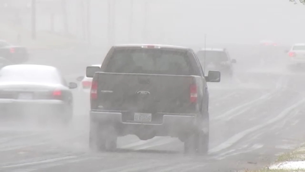
Sunday started off a little wintry across the region, especially areas to the west and south. A winter weather advisory was in effect for Cumberland, Hoke, and Sampson counties through 1 p.m.
Stay on top of breaking news stories with the ABC11 News App
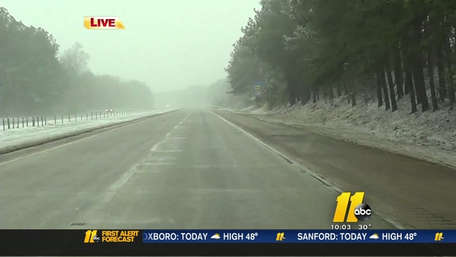
Most of the ABC11 viewing area saw at least a snowflake or two. Some areas to the south and west got a light coating to an inch, mostly on grassy surfaces.


SNOW IN YOUR AREA? SEND US YOUR PICTURES!
Send them here or share them on social media using #ABC11.
Clouds broke for afternoon sunshine as the storm headed off the coast and skies cleared out.
A major storm will begin to take shape late on Monday and will strengthen as it tracks north along the East Coast through Wednesday.
WATCH: Driving conditions across the viewing area Sunday morning
The storm will be in its early stages when it tracks near the Carolinas and will bring some rain to Raleigh starting on Monday afternoon with the better chance of steadier rain on Monday night.
Dry air will move in on Tuesday behind the storm system and will bring an end to the rain. The storm will also send a shot of cold air deep into the Southeast. Highs will only be in the mid-to-upper 40s on Wednesday and Thursday with lows in the low-to-mid-20s.
Warmth will try to build back in at the end of the week with a chance for some rain by the weekend.