Pleasant stretch as temperatures get warmer

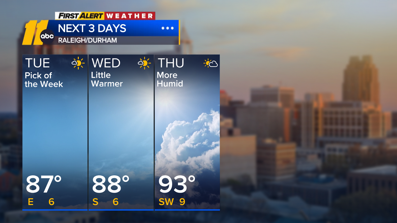
RALEIGH, N.C. (WTVD) -- It will be a comfortable evening ahead with lower humidity and temperatures in the 80s. Overnight, temperatures will fall into the 50s and low 60s with a few passing clouds.
An area of high pressure responsible for this nice weather moves offshore late today and will shifts our winds back out of the south, bringing a warmer and more humid air mass.
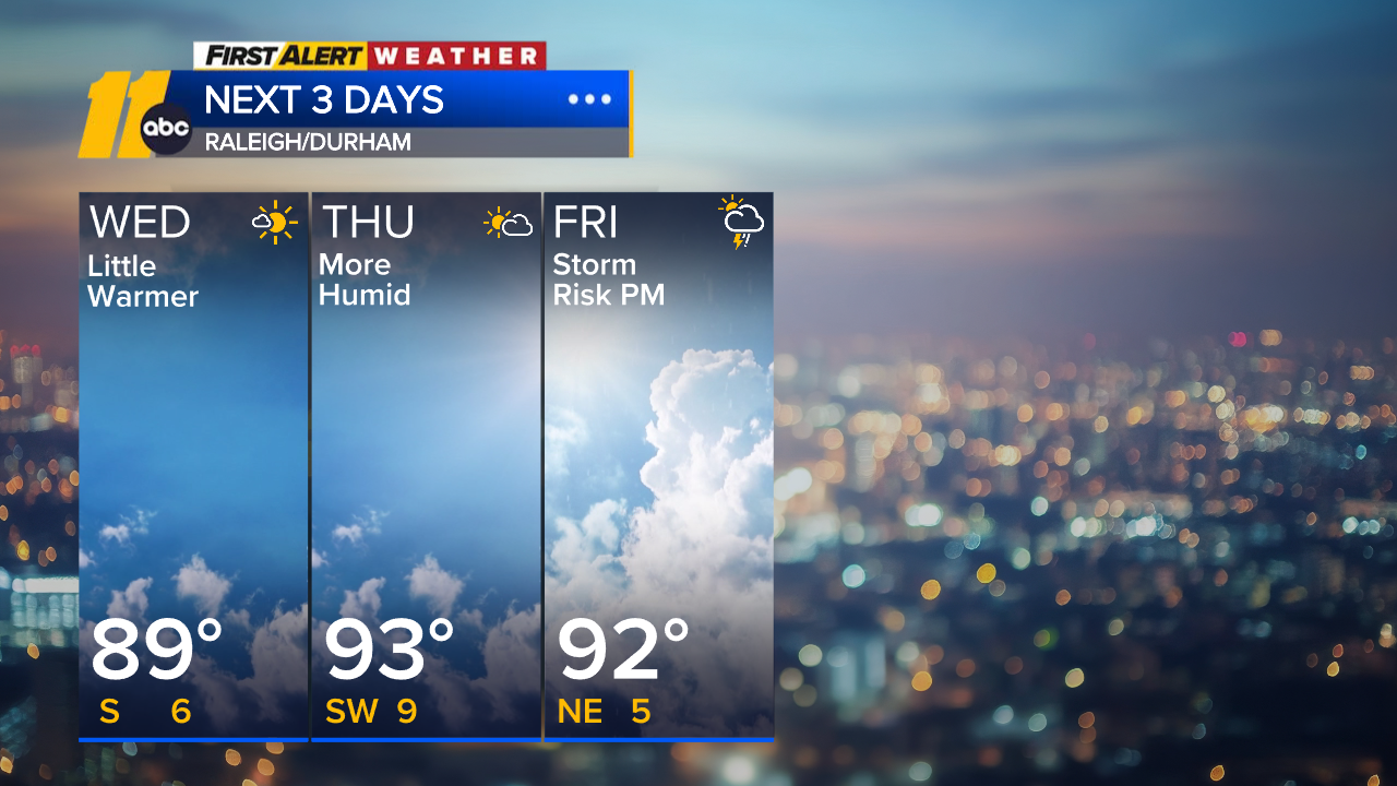
Temperatures rise into the low 90s by Thursday, with the humidity ramping up as well.
Isolated storms will be possible south of the Triangle Thursday. Thunderstorm activity increases Friday and continues through the weekend as the ridge breaks down and a cold front approaches from the Ohio Valley.
A few storms could produce locally heavy rain and gusty winds, especially on Saturday. A lingering shower or storm will remain possible on Sunday as well.
As it stands now, activity clears out as we head into early next week. Highs will climb to around 90 once again.
Tropics: No tropical development is expected in the Atlantic basin within the next 7 days.


Have a great day!
Cruz Medina