Level 1 Risk for severe storms on Wednesday


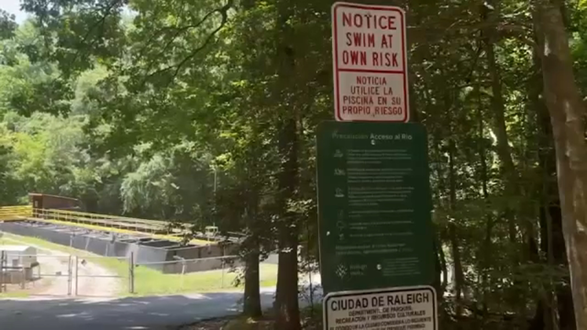
RALEIGH, N.C. (WTVD) -- First Alert Day Today-isolated severe storm risk: Another round of scattered to numerous showers and storms will be possible today. A few storms could be strong with brief downpours. Downpours may lead to minor street flooding. There is an isolated severe risk for damaging winds.
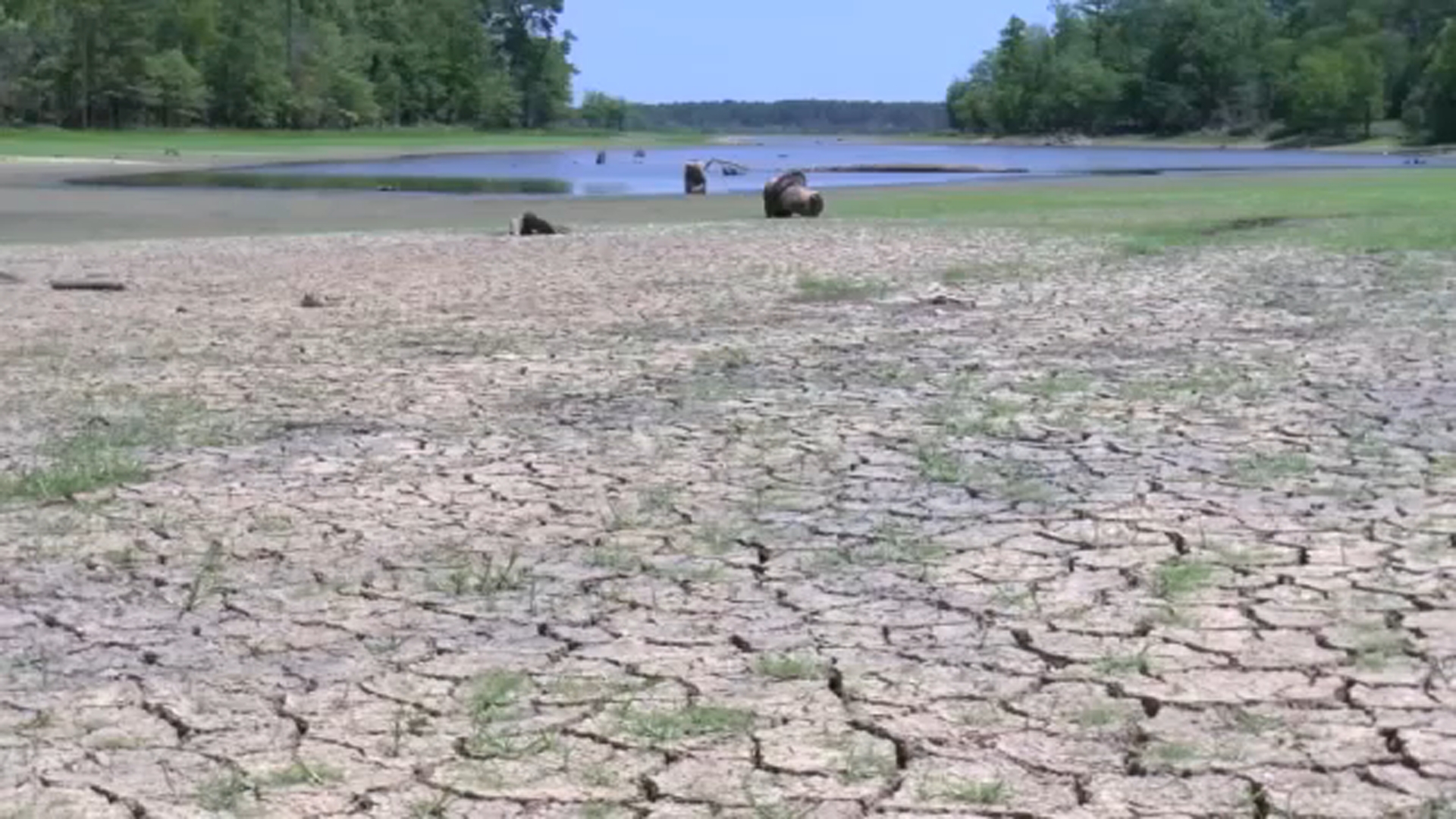
First Alert-Hot & Humid: Temps will climb back into the mid/upper 90s later this week, with feels-like temps as high as 105.
Good morning! A front will remain stationary over the region. This will lead to a persistent summertime pattern of daily afternoon and evening showers and thunderstorms. Areas of fog and low visibility will be possible each morning, especially where the heaviest rain fell on previous days.
Each day through the end of the work week is expected to trend a degree or two hotter as afternoon temperatures climb into the lower and middle 90s. Combined with continued high humidity, feels-like temps will reach or exceed 100 degrees through Saturday.
A weak front approaching later in the weekend should bring at least modest relief beginning Sunday, with temperatures easing back closer to seasonal normals. Highs Saturday will be in the mid 90s. Highs Sunday will be in the upper 80s.
By early next week, the boundary shifts firmly south as high pressure builds over the region. This'll lead to a dry and seasonable stretch of weather into the midweek with the heat dome firmly established in the West.
Have a great day!
Kweilyn