Severe Risk Tuesday

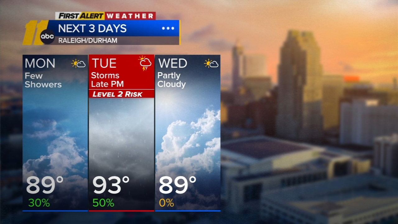
RALEIGH, N.C. (WTVD) -- First Alert Day-Tuesday: There is a slight risk (level 2 of 5) of severe storms Tuesday afternoon and evening. The main threat is damaging wind gusts, but large hail and isolated tornadoes will also be possible.
Good morning! Overnight rain and storms have ended. It's warm and humid with areas of fog. Out-the-door temps are in the 70s. Highs will climb to around 90 under a mix of sun and clouds. There could be a spotty thunderstorm late this afternoon or evening as a weak upper-level disturbance moves through the area, but most locations will remain dry.
Tuesday will be the best opportunity for thunderstorms this week as a disturbance rounds the ridge to the west. Storms will develop in the afternoon and continue through Tuesday evening. Damaging winds will be the main risk, but hail and isolated tornadoes will be possible. Sufficient moisture and instability will be in place for thunderstorms to bring downpours which may lead to brief street flooding.
Thunderstorms should be out of the area by Wednesday morning, making for a nice day with temperatures in the upper 80s and lower humidity.
High pressure builds in for the rest of the week, locking in temperatures in the upper 80s and dew points in the low to mid-60s. The next opportunity for precipitation looks to be toward the second half of the weekend.
Have a great day!
Kweilyn