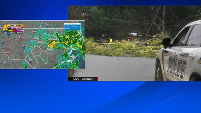
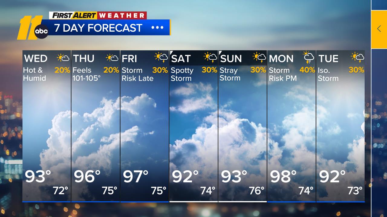
Widespread rain continued throughout the night, but several days of wet weather don't mean central North Carolina's drought is over.
According to the NC Drought Advisory Council, Wake County moved down to severe drought status while Orange and Durham counties remain under extreme drought conditions.
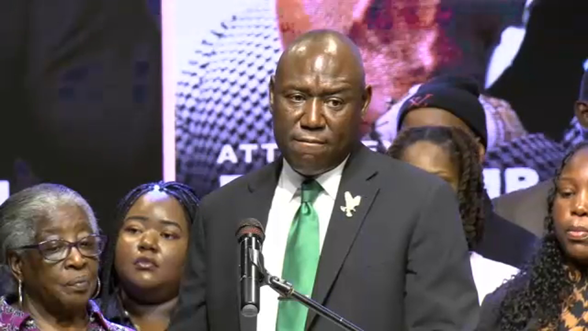
Durham Mayor Leo Williams said the recent rain isn't enough to move Durham from its stage 2 water restrictions. The city needs days of rain to move the needle.
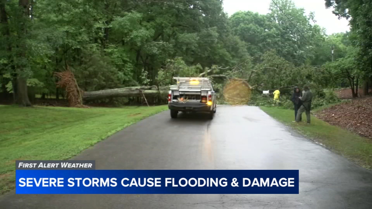
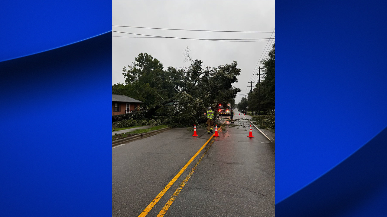
The rain was a headache for homeowners and drivers, but it was a major relief for communities that desperately need it.
The rain was a headache for homeowners and drivers, but it was a major relief for communities that desperately need it.
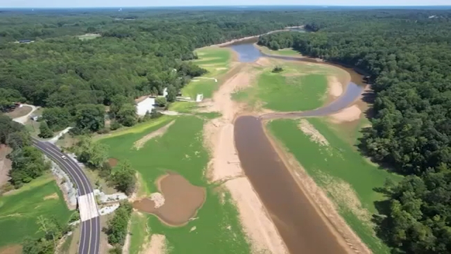
Central North Carolina is facing a drought that is considered unprecedented, and Durham is facing some of the most extreme conditions.
"We are so grateful for this rain," Williams said. "But we are not out of the woods yet."
That's why Durham will stay in the current water restrictions.
"We're getting what we need, but we haven't gotten enough yet to reduce the restrictions back to a stage 1 yet," Williams said. "So, we're going to remain at stage 2, and after a few days, we'll see where we are, see what the reservoir looks like, and then we'll make a decision."
The mayor reminded residents to be good neighbors and conserve their water use.
"Do not power wash your house right now, because when you power wash your house, you may be taking water for someone else who needs to drink it," he said.
Williams reported that the city water use has dropped about 12%, but officials would like to see a 30% reduction.
Download the ABC11 News app