Low humidity, cooler nights bring rare late-July comfort to central NC

RALEIGH, N.C. (WTVD) -- Beautiful weather we had today, with highs in the 80s and dew points in the upper 50s. That's a rare treat for late July, so be sure to get outside and enjoy the evening!
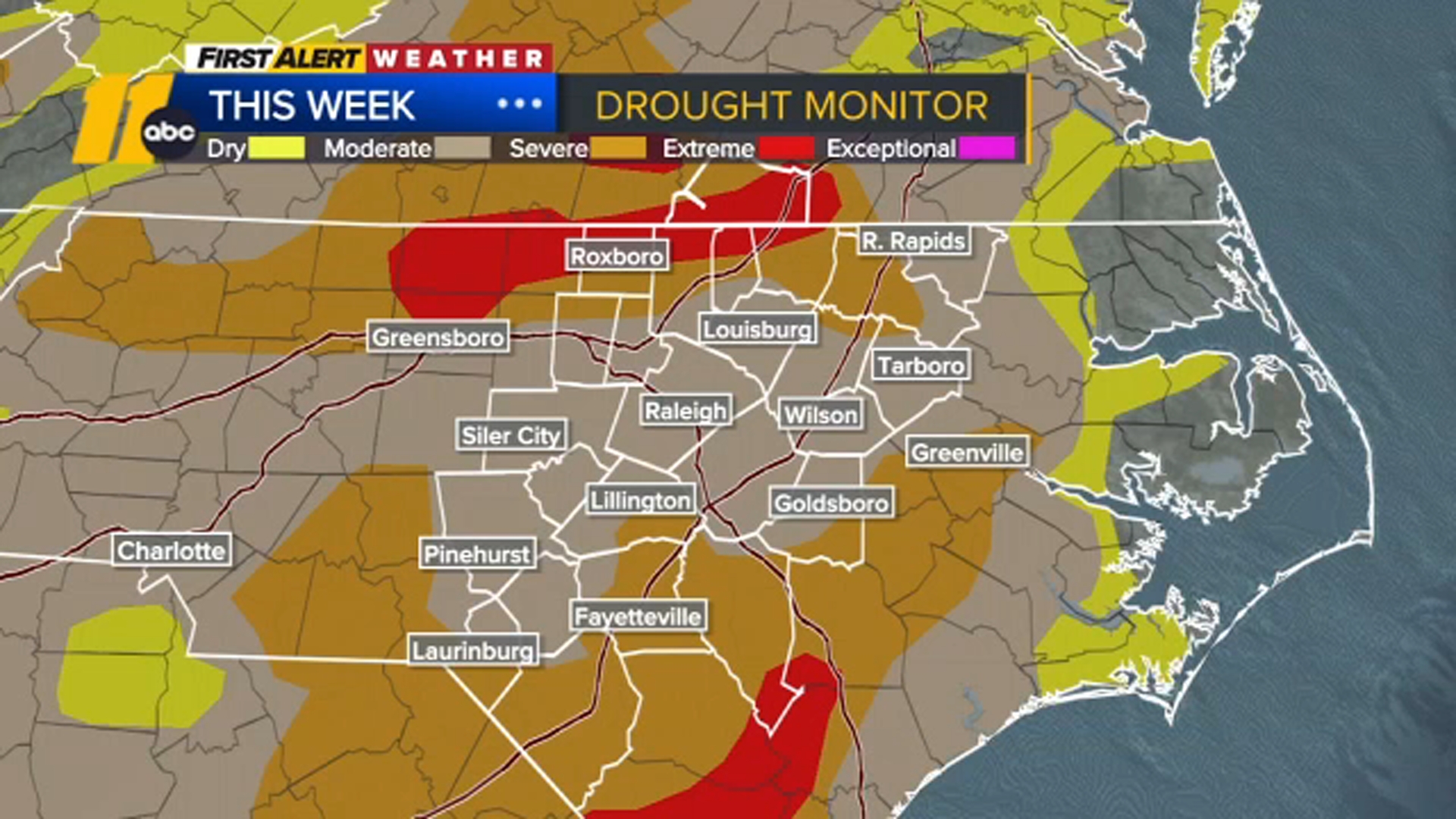
The latest Drought Monitor shows significant improvement compared to last week, with most of the Triangle now classified in moderate drought. That's a welcome change after many areas were in severe to extreme drought just a week ago.
Another fantastic day is ahead tomorrow. Highs will climb closer to 90, but the humidity remains comfortably low.
Changes begin Saturday. It will still be a pleasant day, but clouds will increase during the afternoon, and humidity levels will start to rise.
By Sunday, expect a warmer, more humid day with mostly cloudy skies and thunderstorms developing late in the afternoon. It's too early to know whether any storms could become severe, but periods of heavy rain look possible, especially Sunday night into Monday.
The unsettled pattern continues through much of next week, with daily rain chances from Tuesday through Thursday and temperatures holding in the 80s.
Have a great evening!
Steve Stewart