We're Having a Heat Wave

RALEIGH, N.C. (WTVD) -- The heat wave continues into Wednesday despite the passage of a weak cold front late yesterday. That frontal passage only resulted in a shift of the wind to a more northerly direction and a lowering of the dew points.
Tomorrow will be the hottest day of the current heat wave, and it's the caboose in the current train of 95-degree plus heat. Temps tomorrow will surge past 100, and with dew points in the mid-60s, it's going to feel like 107. Avoid strenuous outdoor activities tomorrow between 10 a.m. and 6 p.m., if at all possible.
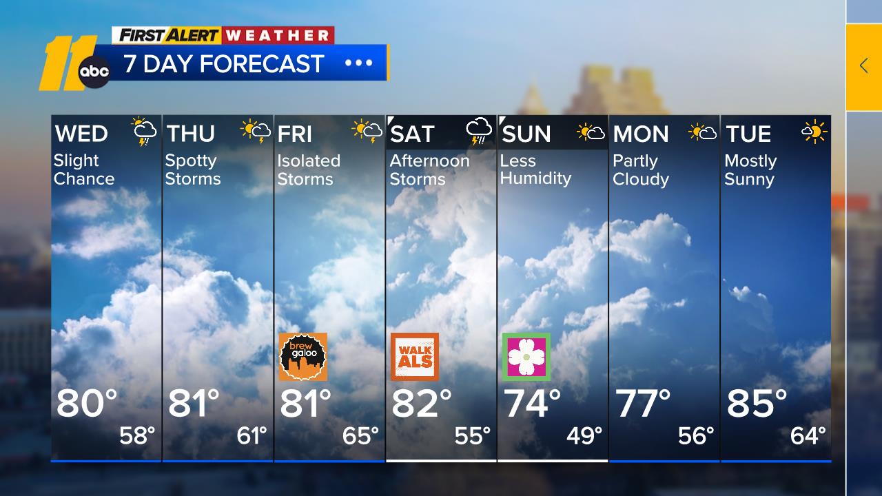
A cold front will end the six-day stretch of 95-degree-plus weather and approach the Triangle from the northwest Wednesday night and Thursday. It seems a little faster, so it may move through during the late morning on Thursday, not during the peak heating. This faster timing makes the prospects for thunderstorms on Thursday a little lower, but we will continue to leave them in the forecast. Let's hope this opportunity for rain does not fizzle out, as we really need the rain.
A second cold frontal passage late this weekend will bring another opportunity for rain on Sunday.
Early next week we settle back into a pattern typical of summer with high temperatures around 90, some sun, and the chance for a spotty afternoon thunderstorm.
Tropics-Western Caribbean/Southwestern Gulf of Mexico:
A westward-moving tropical wave near the Windward Islands produces disorganized showers and thunderstorms. Environmental conditions appear conducive for slow development once the wave reaches the western Caribbean late this week.
* Formation chance through 48 hours...low...10 percent.
* Formation chance through 7 days...low...20 percent.
Have a great evening!
Big Weather


