Gov. Cooper declares State of Emergency for NC ahead of Hurricane Ian's arrival

RALEIGH, N.C. (WTVD) -- Gov. Roy Cooper declared a State of Emergency on Wednesday ahead of the arrival of the remnants of Hurricane Ian.
On Thursday afternoon, the governor gave an update on state preparations.
Cooper urged North Carolinians to pay close attention to the weather and take necessary measures as the remnants of Hurricane Ian approach the state.
"Hurricane Ian reminds us how unpredictable these storms can be and North Carolinians should be prepared when it reaches our state," Cooper said Thursday. "Heavy rains, up to seven inches in some areas, are likely to bring some flooding. Landslides are a threat in our mountains and there's a chance of tornadoes statewide. Coastal flooding and gusty winds are likely as the storm passes through. This storm is still dangerous."
As of 11 a.m. Thursday, the National Weather Service issued a tropical storm warning and storm surge watch for large portions of eastern North Carolina, from Dare County to the South Carolina border.
WATCH FULL UPDATE HERE

Cooper was joined by other state officials at the Emergency Operations Center in Raleigh.
"Even though this storm will lose strength by the time it reaches North Carolina, that even tropical or subtropical storms with heavy rains and winds can cause severe damage and death in North Carolina. So we're going to be ready," Cooper said.
Cooper urged people to have emergency kits ready, including battery-operated radios, bottled water, non-perishable foods, and extra medications.
"Most importantly - don't drive through water on the roads. Many people have died in past storms when their vehicles were caught in floodwaters. We're seeing people being rescued right now from cars in Florida. Don't take the chance," Cooper said.
RELATED: NCDOT advises drivers to stay off roads, use caution through the weekend
"Always use generators outdoors and away from the home to avoid the risk of carbon monoxide poisoning. This is the same for gas and charcoal grills. Never use those indoors, as their fumes can be deadly. Don't try to charge your cellphone by running the car in the garage. That creates deadly carbon monoxide fumes as well," said William Ray, Director of North Carolina Emergency Management.
Meteorologists are closely tracking Ian's path, though are not anticipating widespread outages or evacuations.
"The divisions have also taken inventory of items that they need to use for repair of pipes and bridges as needed. Our traffic safety units have been proactively tracking speeds on our north, south interstate routes since early this week. And at this point have not observed any issues with any additional traffic coming from evacuations," said Eric Boyette, NCDOT Secretary.
With a State of Emergency declared, the price gouging law is in effect. Price gouging is when a business charges unreasonably high rates in the midst of a crisis, ranging on products from gasoline to groceries to cleaning products. If you feel a business is engaging in price gouging, take a picture of your receipt, and submit a claim here or call (877) 5-NO-SCAM. If the Attorney General's Office finds a complaint is valid, a business can face fines up to $5,000 for each violation.
---Wednesday's update---
"A State of Emergency is needed now so that farmers and those preparing for the storm can more quickly get ready for the heavy rain that is likely to fall in much of our state," Cooper said. "North Carolinians should stay aware, keep a close eye on the forecast and prepare their emergency supplies."
Though the storm will have weakened from the Category 4 monster that made landfall Wednesday in Florida, the Tar Heel State could still see significant effects.
North Carolina could see heavy rainfall and possible flooding and tornadoes on Friday and Saturday from the remnants of Ian. The State Emergency Response Team will activate Thursday at the State Emergency Operations Center in Raleigh and plans to move to 24-hour operations on Friday morning.
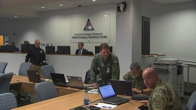
William Ray, North Carolina Emergency Management Director, said there's going to be a significant weather threat associated with this system. People in North Carolina should not take it lightly.
"We know that there will continue to be some evolution and track and specific areas of impact here in North Carolina. But beginning tomorrow, we will take an additional step to enhance our posture and fully activate the state EOC, we will have all the members of the State Emergency Response Team engaged at that point," Ray said.
He said the state is deploying resources across the state.
"We're in the process of activating some members of the North Carolina National Guard, some components of our statewide search and rescue program, particularly Swiftwater," Ray said. "We're taking a look at high clearance vehicles."
North Carolina's price gouging law against overcharging in a state of emergency is now in effect statewide.
Cooper also authorized the activation of about 80 members of the North Carolina National Guard to assist as needed.
With the potential of flooding across North Carolina, help from the North Carolina National Guard could be crucial.
Col. Brent Orr, the Director of Joint Military Support to Civilian Authorities with the North Carolina National Guard explained their capabilities.
"There is an element of unpredictability to storms. It's mother nature but we are in a continuous perpetual planning state," Orr said. "That's what we do. We are war fighters but the other half of our mission is to provide resources and capabilities to the citizens of North Carolina to protect their property and their lives."
The North Carolina Department of Transportation is also working to make sure roads are safe. The agency is getting crews and equipment ready.
"With these rain type events that can include anything from you know, backhoe loaders, to trucks to generators, chainsaws, making sure we have signs in place, emergency signs ready to go as needed," said Aaron Moody, a spokesperson for the NCDOT.
Much of North Carolina is forecast to see 2-5 inches of rain but 5-7 inches or more will be possible near the coast and along the Blue Ridge Escarpment. There could be flash flooding, landslides in the mountains, and rises on main-stem rivers.
Gusty winds, isolated tornadoes, minor coastal flooding and hazardous marine conditions will also be possible.
The governor shared tips to make sure people are personally prepared:
- Have multiple ways to receive emergency information, including watches and warnings. Make sure emergency alerts are enabled on a cell phone and download a weather app
- Have an emergency plan. Know where to go if there's a need to evacuate. Make a plan to stay with family, friends or at a hotel. Public shelters should be a last resort
- Gather some emergency supplies or refresh an emergency kit. Visit ReadyNC.gov for info on how to build an emergency kit
Hurricane Ian is the strongest hurricane in the Gulf of Mexico since Rita in 2005.
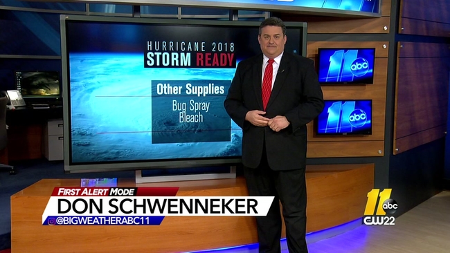
Big Weather's hurricane emergency kit
By Saturday morning, the storm -- which is expected to no longer be hurricane strength -- will make another landfall somewhere along the Georgia or South Carolina coast. The system will continue on a northwestern path into the North Carolina mountains.
Localized flooding could start to happen around midday Friday. This will coincide with heavy bands of rain from the storm system, meaning the flooding is expected to be localized and not widespread.
With all those conditions combined, power outages are most likely to happen Saturday.
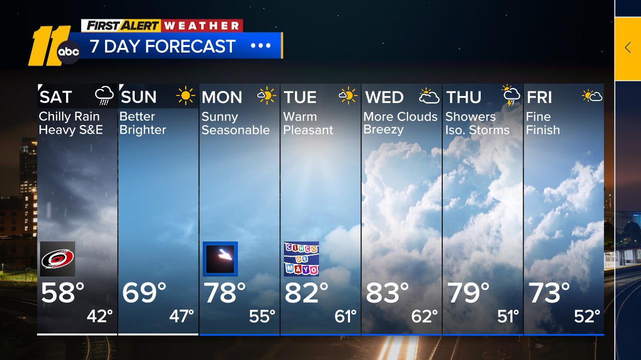
The entire system will be pushing its way out of North Carolina on Sunday. Monday could still have some unsettled weather on the backend of the storm, including scattered showers and cooler temperatures.
Officials in Raleigh and Durham are already planning for any impacts felt from Hurricane Ian. Officials in Raleigh are making sure flood-prone areas are being looked at to deal with any heavy rains. Meanwhile in Durham city leaders are meeting with Duke Energy to talk about their hurricane preparations.
Local Floridians react to damage caused by storm
Michelle Brown who lives in Rocky Mount said her niece Rochelle and her husband just moved to the Fort Myers, Cape Coral area in July.
According to Brown, Rochelle and her husband decided to stay during the storm, and tried earlier in the week to get plywood at Lowe's but it was sold out.
Brown said Rochelle grew up in the Outer Banks and figured she and her husband would be fine.
"She just said I think at a two, we'll be all right. We'll ride it out and she's an Outer Banks girl. She said I've been through nor'easters stronger than this," Brown said. "You get a little overconfident and think I can ride this out but not a cat 4 and it was too late for them to move."
Carol Walter moved to Youngsville from Port Charlotte earlier this year said her parents evacuated to Ocala, FL.
"We thought Irma was going to be bad. A few years ago but this is something else," Walter said.
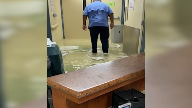
Her sister who works at a local hospital had to stay for the storm
"The whole ICU is gone, it's been blown off, the roof on a lot of the hospital is gone," Walter said. "There's a lot of people up here that have relatives down there. This is no joke."
Florida evacuees flock to North Carolina
The I-95 corridor has been busy the past few days, with many Floridians fleeing north ahead of Hurricane Ian.
Many are finding refuge in North Carolina. The Hampton Inn in Dunn reported that dozens of guests from Florida are staying at the hotel, with more checking in Wednesday.
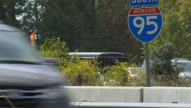
Many of those guests are glued to the TV, watching coverage of the storm, assessing damage and trying to gauge when might be a good time to return.
"It's like turning away from a car accident. You just can't do it," said one woman, who was staying at the Hampton Inn, of the weather coverage
Another traveler, Harold Pahlck, lives in New Jersey but was visiting friends in Tampa.
"We were going to stay through the weekend. But when you've got an RV like this, you have any wind--it's going over," Pahick said. "When they said the storm was going to hit Tampa and then come straight across and they told everyone with RVs in Tampa to get out. You know how these storms can go any direction at the last minute."
Pahick said he saw convoys of power crews on I-95 heading to Florida.
"Going south, there were literally hundreds of utility vehicles coming from all over the country, I guess, coming down," Pahick said. "They're going the right direction for what they need to do, and we're going the right direction for what we need to do."
Jeff Montgomery said he felt people who didn't leave were taking a big risk.
"I'm no stranger to hurricanes. But it sounds like this one is going to be as bad as they've ever had," Montgomery said. "I think they made a mistake. I think they definitely made a mistake. Because they maybe rode out, a lot of them in the past, but I think what they're talking about is their storm surge. And when that water comes up--and there's nothing more damaging than that. I'm not worried about the wind and stuff, I think all those places are pretty well built nowadays, strapping roofs down and things. But as far as the storm surge, there's nothing you can do about that. That just comes in like a raging river and just washes stuff away. Washes cars away, washes everything away."
Haley Jones, a military spouse, lives in the Jacksonville, Florida, area, and was driving to see parents in Richmond, Virginia.
"I got up this morning and they were predicting 2 feet of rain and flooding," Jones said. "So I just went ahead and made the decision to drive. Since I left this morning, they have decided to evacuate the island I live on. So it wasn't quite at evacuation when I decided to leave, but it is now."
WATCH: First Alert to Hurricane Season

ABC11's DeJuan Hoggard, Jamiese Price, Michael Perchick and The Associated Press contributed to this report.
Ian batters Florida coast


