12:15 PM GMT
Fallen trees cause outage in Garner
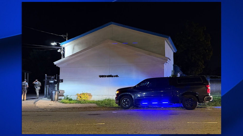
Another outage is being reported in Garner near Weston Road.
According to Duke Energy, the outage is related to fallen trees in the area as rain and gusty conditions continue.

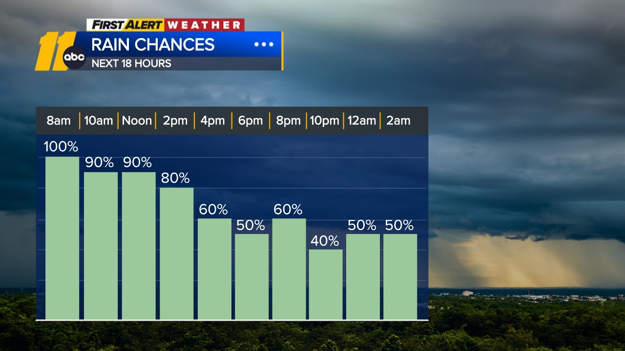
RALEIGH, N.C. (WTVD) -- ABC11 is tracking multiple rounds of showers and thunderstorms expected to move across central North Carolina through Friday, bringing the threat of heavy rain, flash flooding and isolated storm impacts.
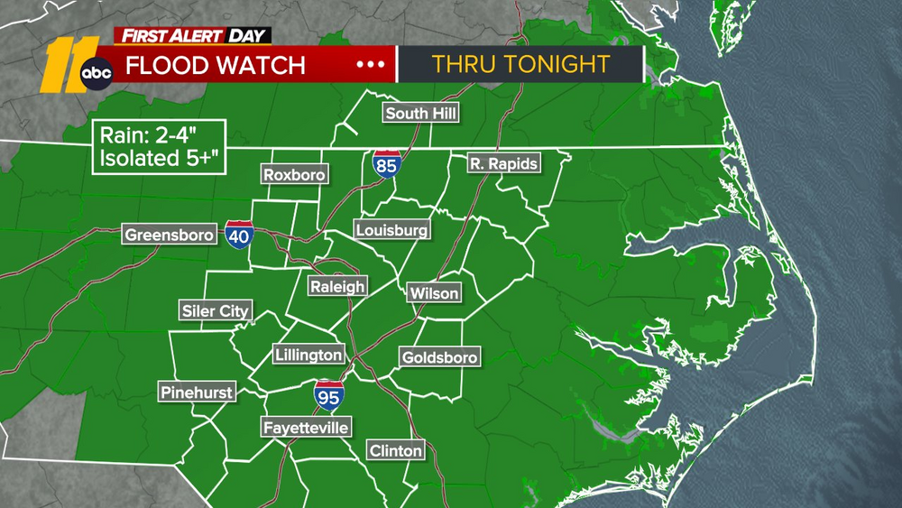
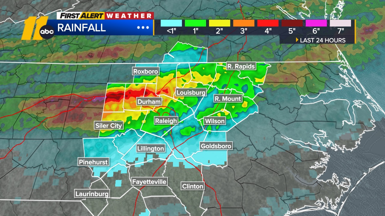
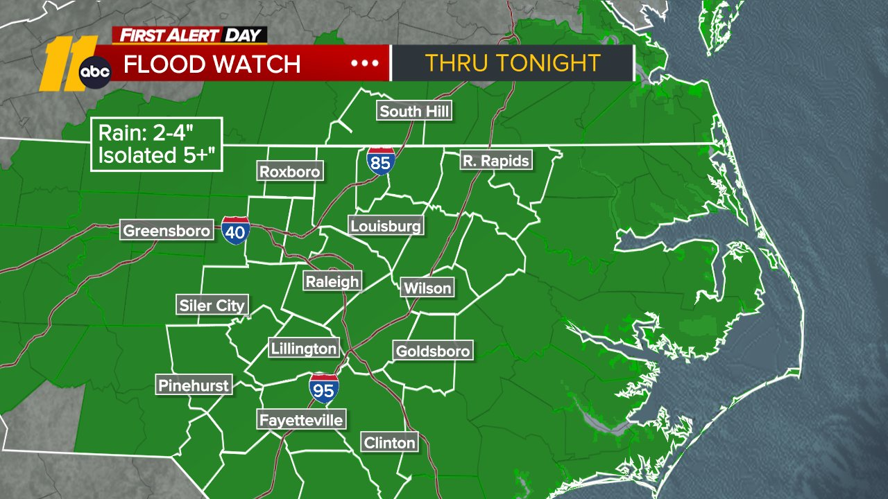
A Flood Watch remains in effect as some communities could see 2 to 4 inches of rain, with locally higher amounts exceeding 5 inches. Heavy downpours may lead to flooding in low-lying areas, along creeks and streams, and on roadways.
Stay with ABC11 throughout the day for the latest weather alerts, flooding reports, power outages and forecast updates.
Another outage is being reported in Garner near Weston Road.
According to Duke Energy, the outage is related to fallen trees in the area as rain and gusty conditions continue.
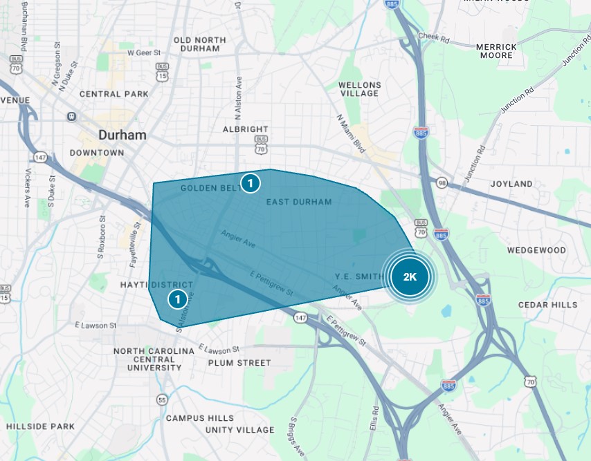
Nearly 2,500 Duke Energy customers are without power in East Durham Thursday morning.
According to the utility's outage map, the outage was first reported around 6:15 a.m. The cause has not been identified.
A Flood Watch remains in effect through Friday morning as rounds of showers and thunderstorms continue moving through the area. Forecasters say widespread rainfall totals of 2 to 4 inches are possible, with isolated locations seeing more than 5 inches.
The greatest concern is flash flooding, particularly in low-lying and flood-prone areas.
While Tropical Storm Bertha is well west of North Carolina, the storm is helping funnel deep tropical moisture into the Carolinas.
That moisture, combined with a slow-moving front, is creating the potential for repeated rounds of heavy rain across central North Carolina through Friday.