Winter weather advisory in place due to possible icy conditions


RALEIGH, N.C. (WTVD) -- A Winter Weather Advisory remains in effect through Noon today, mainly due to the potential for black ice.
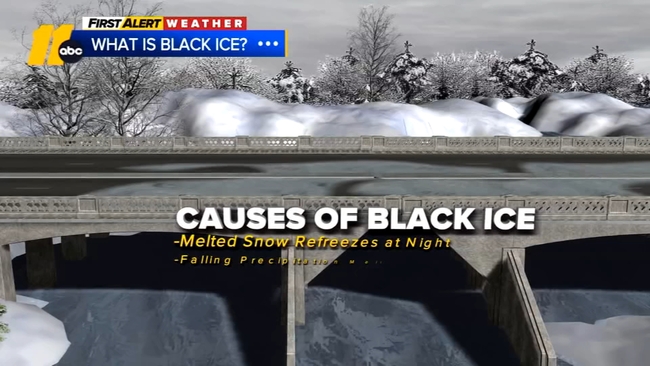
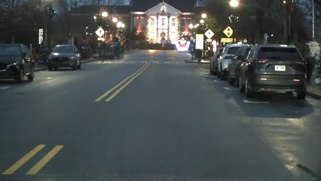
Beware of Black Ice
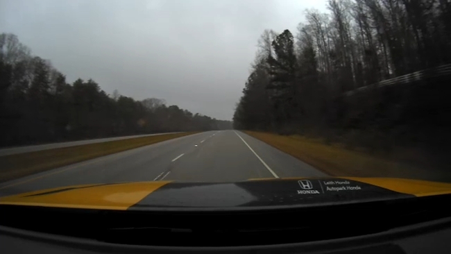
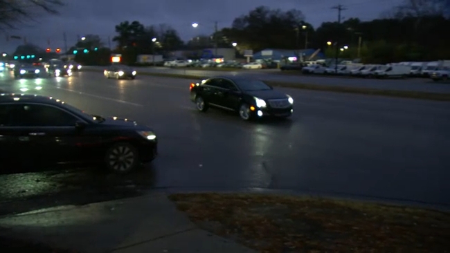
Evening temps fell hard which allowed wet roads and lingering moisture to quickly freeze, resulting in potentially slippery conditions and black ice for the Tuesday morning commute.
Morning temperatures are expected to be in the teens and low 20s. Temperatures will rise above freezing by lunch, but it will stay cold, with highs in the 40s.
As temperatures rise again and reach above freezing around midday, travel conditions will improve. Highs will be in the low 40s Tuesday, which will help with melting.
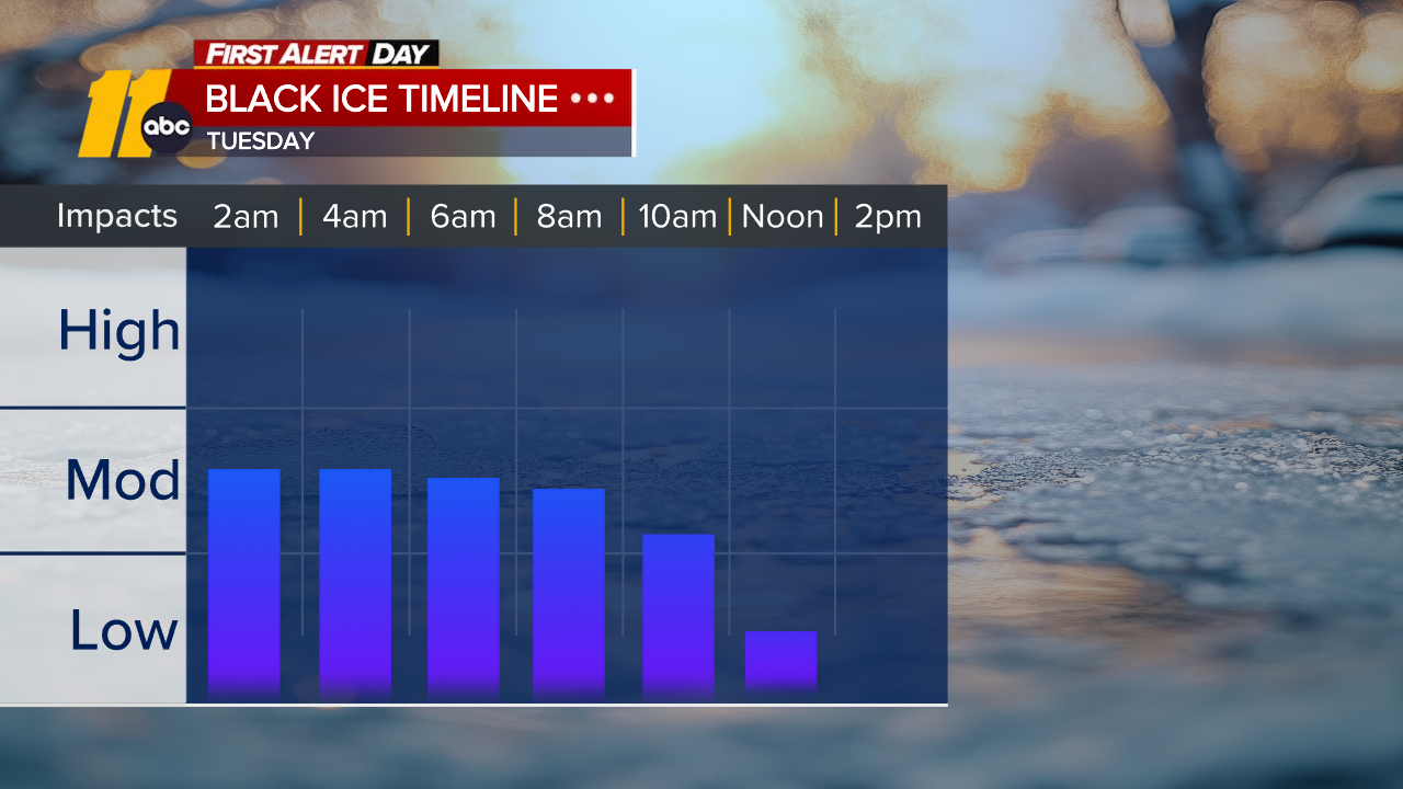
Another refreeze will be possible Tuesday night into Wednesday morning.
By Wednesday afternoon, it will become quite breezy with gusts of 25-30 mph as a deep low pressure system passes by to the north. A spotty shower will be possible Thursday with the next front.
Download the ABC11 App to get weather alerts
Another Arctic front will track through this weekend, ushering highs in the upper 30s to low 40s and lows in the 20s. Wind chills could be in the lower teens Sunday morning.
Who saw snow and who didn't
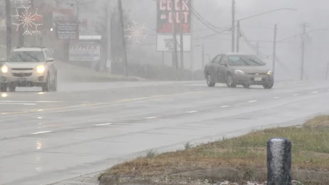
The rain on Monday transitioned to snow, especially for those closest to the Virginia border.
Along and north of Highway 64, rain transitioned to snow.
South of 64, precipitation fell mostly as rain, briefly mixing with or changing over to snow before ending. Little to no accumulation is expected there.
Wednesday will be nicer, with temperatures in the mid-50s.
ALSO SEE | School closings and delays
This second round of winter weather comes just days after a wintry mix on Friday morning, particularly north of I-85. This also led to school closures just last week.
Click here to report a weather-related school closing or delay to ABC11
SEE ALSO: Time to winterize your car and home