24/7 Live
Raleigh
Durham
Fayetteville
Surrounding Area
Welcome, Mickey
mickey@disney.com
Manage MyDisney Account
Log Out
Latest 7-day forecast
Remembering Pope Francis
ABC11 Troubleshooter
ABC11 Together
Magic of Storytelling Podcast
Submit a News Tip
Sweepstakes on ABC11
Climate Ready
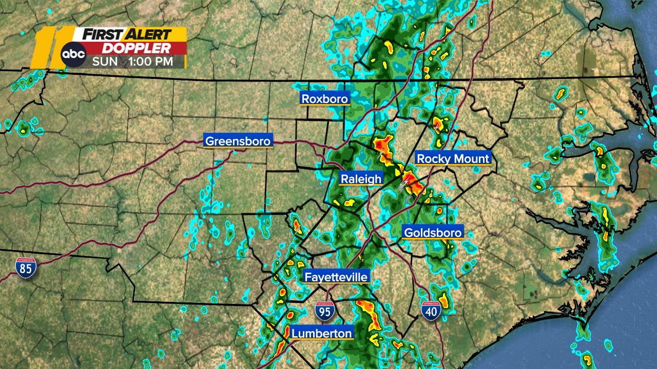
Central NC First Alert Doppler Radar
Share
Tweet
Email
First Alert Doppler Radar
Share
Tweet
Email
Animate
Wake Doppler Radar Map
North Carolina Weather Radar First Alert Doppler: Regional Satellite
Color Vision Deficiency Radar NC First Alert Doppler Radar
Durham, Orange Doppler Radar Map
Cumberland Doppler Radar Map
Chatham Doppler Radar Map
Show More
Wilson Doppler Radar Map
Nash Radar
Sandhills Radar
Show Fewer
Weather Team
Don Schwenneker
Steve Stewart
Kweilyn Murphy