Storms possible overnight across Central NC

RALEIGH, N.C. (WTVD) -- First Alert: Storms are possible tonight across Central NC. Another round of strong storms is possible on Tuesday evening. Tuesday is a First Alert Day.
Some high-resolution models suggest a few stronger storms could develop between midnight and 5 a.m.
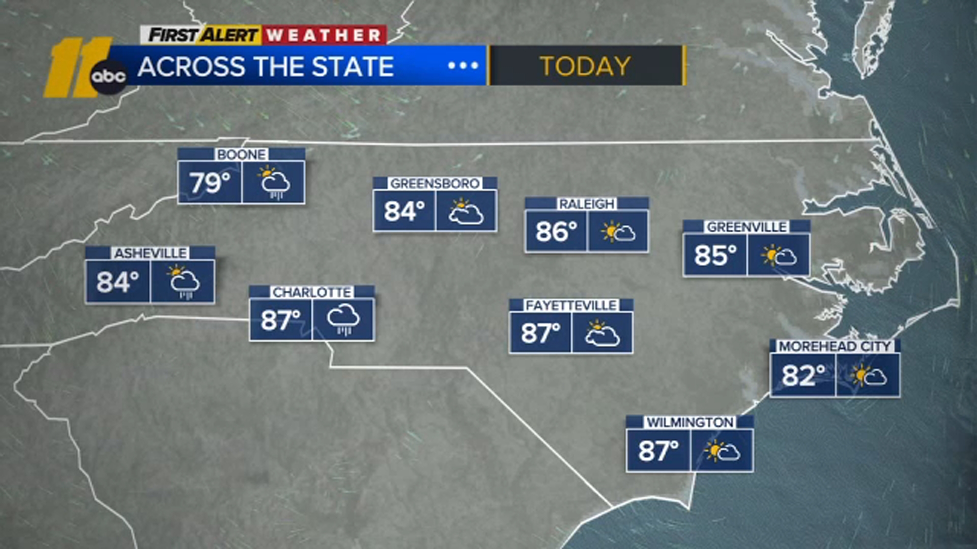
The heat returns Monday with highs back in the low 90s under a mix of sun and clouds.
Then attention turns to Tuesday, when another round of potentially severe weather is expected.
The Storm Prediction Center has much of central North Carolina under a Level 2 Risk for severe storms Tuesday afternoon and evening.
A late-season cold front will move into the state Tuesday and push toward the coast by Wednesday, where it is expected to stall. Unlike the last stalled front that brought several days of rain, this system should mainly impact us Tuesday and Tuesday evening.
From Wednesday through Friday, expect partly cloudy skies with highs near 90 degrees.
Rain chances return next weekend, especially on Sunday. Enjoy the dry weather while we have it.
Have a great week!
Cruz Medina