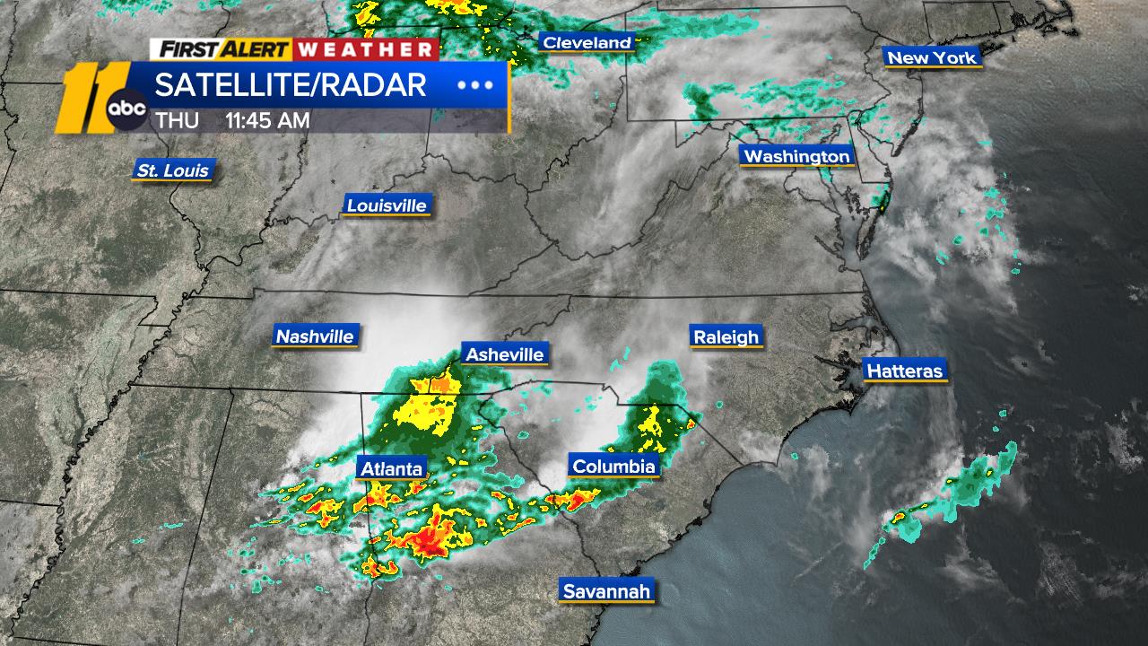
• Flood Advisory

    * WHAT...Flooding caused by excessive rainfall is expected. * WHERE...A portion of central North Carolina, including the following counties, Durham, Granville, Orange and Person. * WHEN...Until 830 PM EDT. * IMPACTS...Minor flooding in low-lying and poor drainage areas. * ADDITIONAL DETAILS... - At 631 PM EDT, Doppler radar indicated heavy rain due to thunderstorms. Minor flooding is ongoing or expected to begin shortly in the advisory area. Between 1 and 2 inches of rain have fallen. - Additional rainfall amounts up to 1 inch are expected over the area. This additional rain will result in minor flooding. - Some locations that will experience flooding include... Durham, Chapel Hill, Oxford, Hillsborough, Creedmoor, Carrboro, Butner, Rougemont, Stem, Lake Michie, Bahama, Gorman, Lake Butner, Moriah, Eno River State Park, Bethesda, Falls Lake, Rollingview Marina, Schley and Parkwood. - http://www.weather.gov/safety/floodMore

  • Flood Advisory

    * WHAT...Flooding caused by excessive rainfall is expected. * WHERE...A portion of central North Carolina, including the following counties, Halifax and Warren. * WHEN...Until 800 PM EDT. * IMPACTS...Minor flooding in low-lying and poor drainage areas. * ADDITIONAL DETAILS... - At 608 PM EDT, Doppler radar indicated heavy rain due to thunderstorms. Minor flooding is ongoing or expected to begin shortly in the advisory area. Between 1 and 2 inches of rain have fallen. - Additional rainfall amounts of 1 to 1.5 inches are expected over the area. This additional rain will result in minor flooding. - Some locations that will experience flooding include... Roanoke Rapids, Warrenton, Halifax, Littleton, Weldon, Macon, Airlie, Medoc Mountain State Park, Arcola, Southpointe And Morningstar Marinas, Lake Gaston, Roanoke Rapids Lake, Rosemary, South Weldon and Afton. - http://www.weather.gov/safety/floodMore


Weather Team