Storms drench Central NC on Friday evening

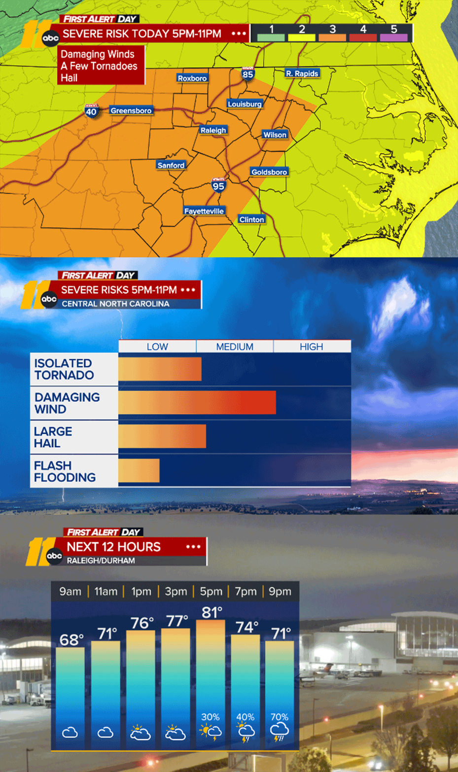
RALEIGH (WTVD) -- After some early sunshine and heat, dark clouds gathered and rain drenched much of the region Friday night.
Trees were down and power outages were reported in some areas.
Some ABC11 viewers sent in photos of funnel-type clouds in parts of central North Carolina.

There was no rotation, Chief Meteorologist Chris Hohmann said, however, and with nothing approaching a tornado.
Click here for First Alert Doppler XP
Click here to download the ABC11 First Alert Weather app.
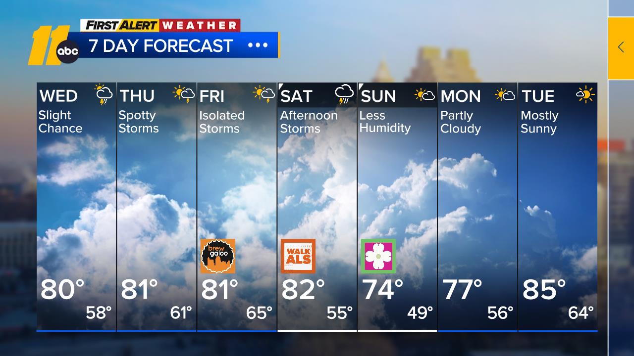
Despite a front that has moved across the area, there will not be much of a change in the hot, humid weather today. The humidity may be down a little from recent days, but there will still be enough moisture lingering in the wake of the weak front that a stray shower or thunderstorm cannot be ruled out completely this afternoon, mainly to the south of the Triangle.
READ MORE: Lightning safety - The do's and don'ts of weathering summer storms
Sunday looks to remain generally dry with a mixture of clouds and sunshine along with seasonable temperatures. We should notice the humidity shaved down a little more. Though there is the slight chance for a pop-up afternoon thunderstorm, the best chance will be south and west of the Triangle.


