Hot Friday. Unsettled Weekend


RALEIGH, N.C. (WTVD) -- First Alert: Areas of fog may be dense at times this morning. Highs will top out near 90 today ahead of increased shower and storm potential this weekend.
Good Morning! Yesterday was the first 90+ high temp day of the season at RDU-topping out at 92. This tied the record from 2010! Numerous other places across the Triangle and even a few places in the Triad did manage to reach up to 90, both FAY and GSO stayed in the 80s.
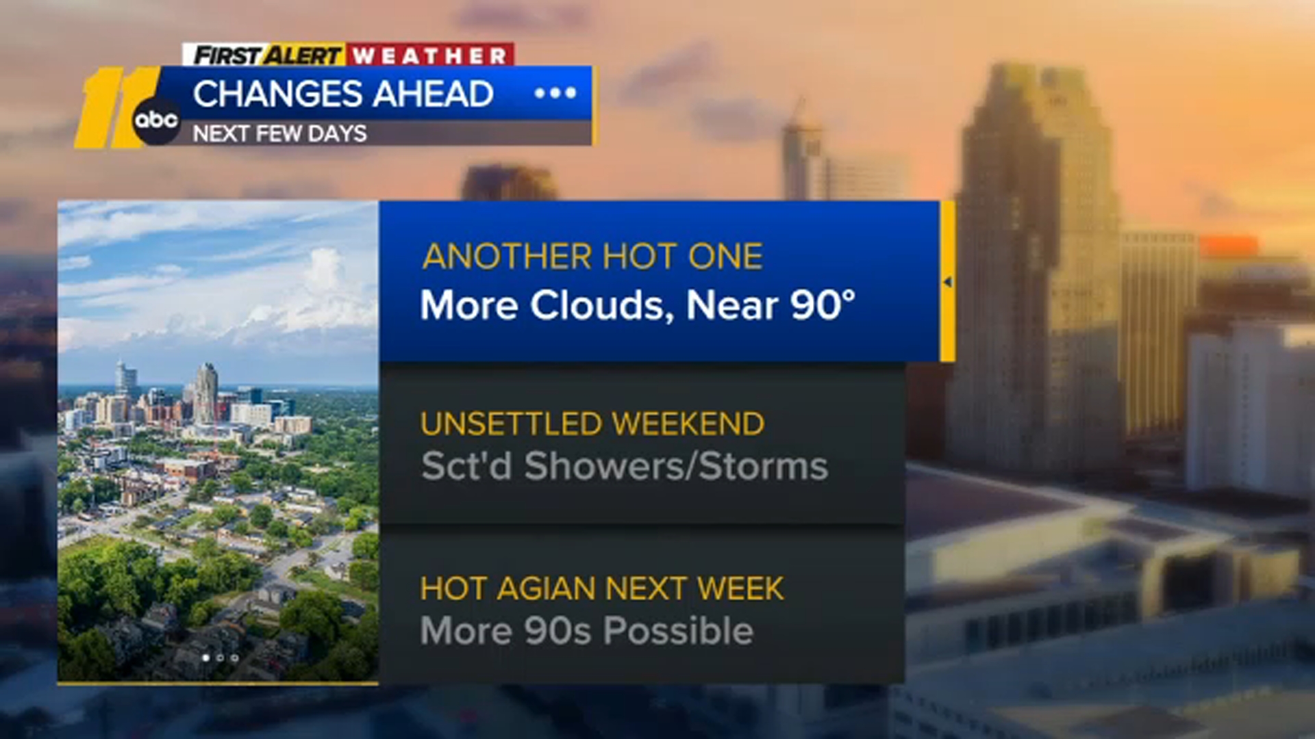
Sunny skies and dry ground today will help lead highs to near 90 again, falling just short of the record 93 in 1959.
Tonight into Saturday marks the beginning of an unsettled weather pattern with a backdoor cold front pushing into the region. A few showers and thunderstorms can be expected, mainly towards the afternoon hours.
The front will eventually stall out over the area, with a few more showers. And a second system will move through on Sunday.
Early next week another disturbance will move through and will lead to scattered showers and storms Monday.
By Tuesday, high pressure will settle off of the Southeast U.S. coast. A few spotty showers and isolated storms may develop Tuesday.
Wednesday looks to be the hottest day of the coming week as high pressure peaks, but likely not warm enough to break the record of 95 from 1940.
The next front starts to move in Thursday afternoon, the timing looks slower, and the day looks warmer, with highs in the low 90s. Otherwise, cooling thunderstorms arrive during the evening and night.
Have a good day!
Kweilyn