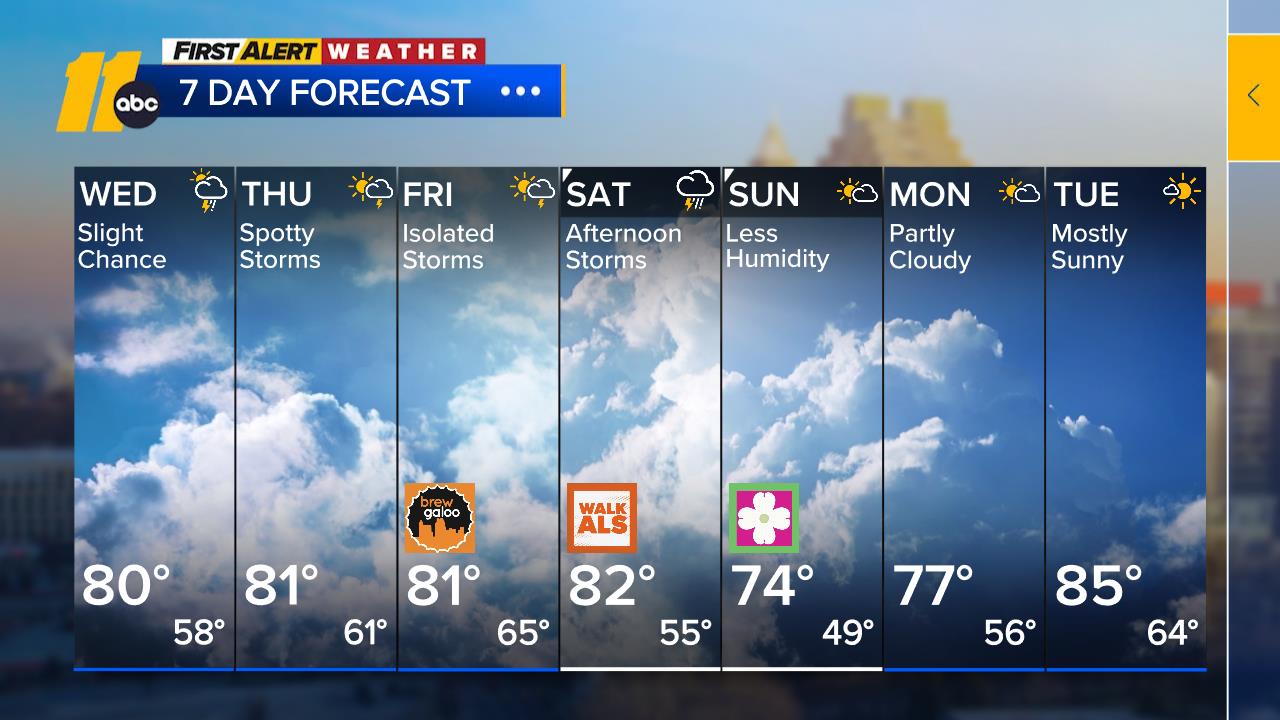
Near 90° Next Two Days

RALEIGH, N.C. (WTVD) -- A couple of days of near-record heat through tomorrow give way to a more active pattern starting this weekend, when temperatures fall closer to historical averages before rebounding once again. For today, we're looking at what should be the hottest day of the year so far beneath a broad and expanding ridge.
We're continuing to allow for temperatures to take off above guidance within this extreme pattern by pushing the high to within a few degrees of the record of 92. We'll hold onto clear skies through tonight, and even tomorrow looks more like a "sunny to partly cloudy" sort of day as heights aloft rise even more, allowing for similar temperatures that we're expecting for today.
Some guidance suggests that temperatures actually peak today and that Friday may be a degree or two lower, but we're not seeing much saying that tomorrow can be warmer than today, so we're good with moving up to 89.
Saturday brings the next active pattern to the area in the form of dual storms. The first of these two events will be a backdoor front diving in from the Northeast. The more likely source of forcing will be the more substantial cold front approaching from the west, and this brings showers and some thunderstorms into the area, especially in the afternoon as we get some daytime heating, despite highs "only" reaching around 80. The front likely washes out somewhere over the area, keeping things busy on average.
Sunday is trending noticeably warmer as the southerly wind looks to lose the previously-expected easterly component, with more of the land effect allowing for a boost to 81 that makes a lot of sense, especially with trends also supporting some drying for the afternoon as shortwave energy traverses the flow. Otherwise, heat and moisture remain high through the remainder of the forecast period, with associated chances for showers and thunderstorms most days through at least the start of next week.
Have a good day!
Steve Stewart


