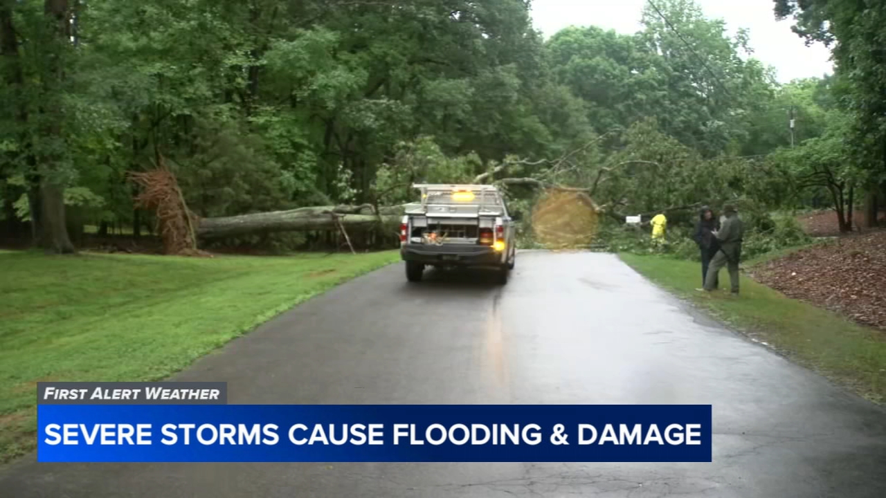

Severe weather triggers heavy rain, downed trees, and flood threats across central NC: Live Updates

WTVD logo
Last updated: Thursday, July 23, 2026 10:46PM GMT
ABC11 24/7 Streaming Channel
Watch Eyewitness News, First Alert Weather, and original programming.

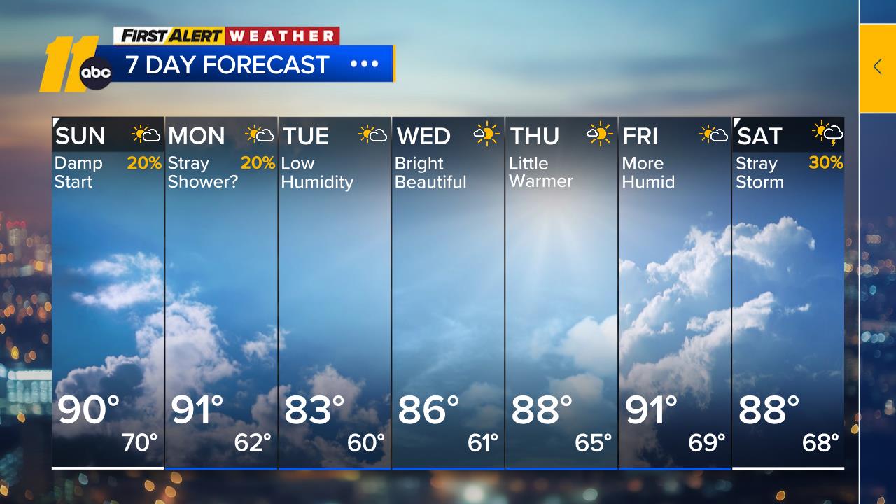
RALEIGH, N.C. (WTVD) -- ABC11 First Alert Forecast Team is tracking multiple rounds of showers and thunderstorms expected to move across central North Carolina through Friday, bringing the threat of heavy rain, flash flooding and isolated storm impacts.

A Flood Watch remains in effect as some communities could see 2 to 4 inches of rain, with locally higher amounts exceeding 5 inches. Heavy downpours may lead to flooding in low-lying areas, along creeks and streams, and on roadways.

Stay with ABC11 throughout the day for the latest weather alerts, flooding reports, power outages and forecast updates.

Penelope Lopez Image
18 minutes ago

Bouts of heavy rain plague the Sandhills

Fayetteville and other parts of the Sandhills saw torrential rain fall around noon.

The rain eased later in the afternoon, but more precipitation was expected through Harnett and Cumberland counties.
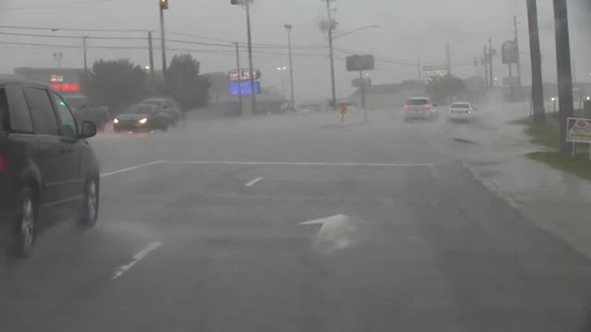
After torrential rain in the late morning and early afternoon caused problems in the Sandhills, precipitation eased in the late afternoon before another band of wet weather.

Fayetteville officials said they responded to eight car crashes during the heaviest rain time, noon to 1 p.m.

Emergency Management coordinator Laura Smith said there are some steps homeowners can take to reduce the risk of damage during severe weather.

"Some of the simple things that folks can do to keep their homes and neighborhood safe is just to make sure that their storm drains are clear around their homes, whether you have your regular trash litter, grass clippings, anything that could prevent the water from flowing like as it should," Smith said.

Stay on top of breaking news and weather with the ABC11 News App

Elaina Athans Image
23 minutes ago

Conditions improve in Holly Springs after flooding closed road

Conditions have improved markedly in Holly Springs, where earlier flash flooding forced a road to close.

New Hill Road was closed at White Oak Creek between Cateswood Court, southeast of Friendship Road, and Stonender Way was closed because of flash flooding.

Conditions have improved markedly in Holly Springs, where earlier flash flooding forced a road to close.

Get live updates here

Drivers who see standing water are urged to turn around rather than attempt to drive through floodwaters.

Download the ABC11 App for breaking news and weather alerts

WTVD logo
4:11 PM GMT

Power outage at The Streets at Southpoint, businesses in the area

The Streets at Southpoint and businesses along Renaissance Parkway and Fayetteville Street in Durham are experiencing a power outage.

Get live updates here

WTVD logo
4:05 PM GMT

Flash Flood Warning issued for more counties until 3 p.m.

Flash Flood Warning issued for Cumberland, Harnett, Hoke, Johnston, Moore, Sampson, and Wayne until 3 p.m.