RALEIGH, N.C. (WTVD) -- First Alert Day: The risk for flash flooding with locally heavy rain will continue through Thursday as well as the threat for strong to severe storms.
An isolated severe storm persists through this evening mainly for counties that border Virginia. Warm, muggy and cloudy conditions are expected overnight.
The active stretch of weather continues on Wednesday, with flooding downpours and damaging wind gusts remaining the primary threats mainly during the evening hours and into Thursday. The flooding potential continues to rise. Another front moves closer later in the week, so this'll keep conditions unsettled right through the weekend.
Guidance continues to trend slower with the frontal passage, keeping the front in the area through Friday, and possibly even into Saturday.
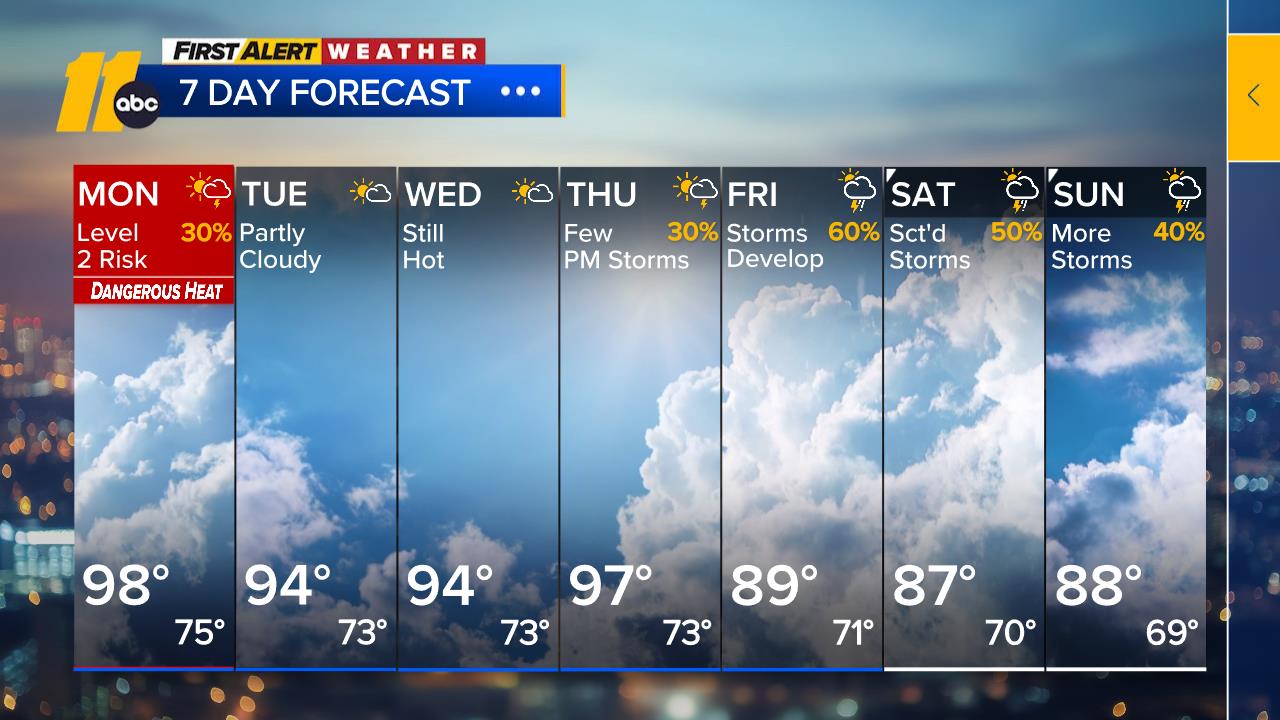
Highs will be in the upper 80s Wednesday, dropping into the upper 70s to near 80 Thursday and Friday. Highs Saturday will be in the low 80s, pushing back to the upper 80s to low 90s Sunday and Monday.
Sunday will be the drier and hotter of the weekend days. If you're planning on making outdoor plans this weekend, Sunday is the ideal day.
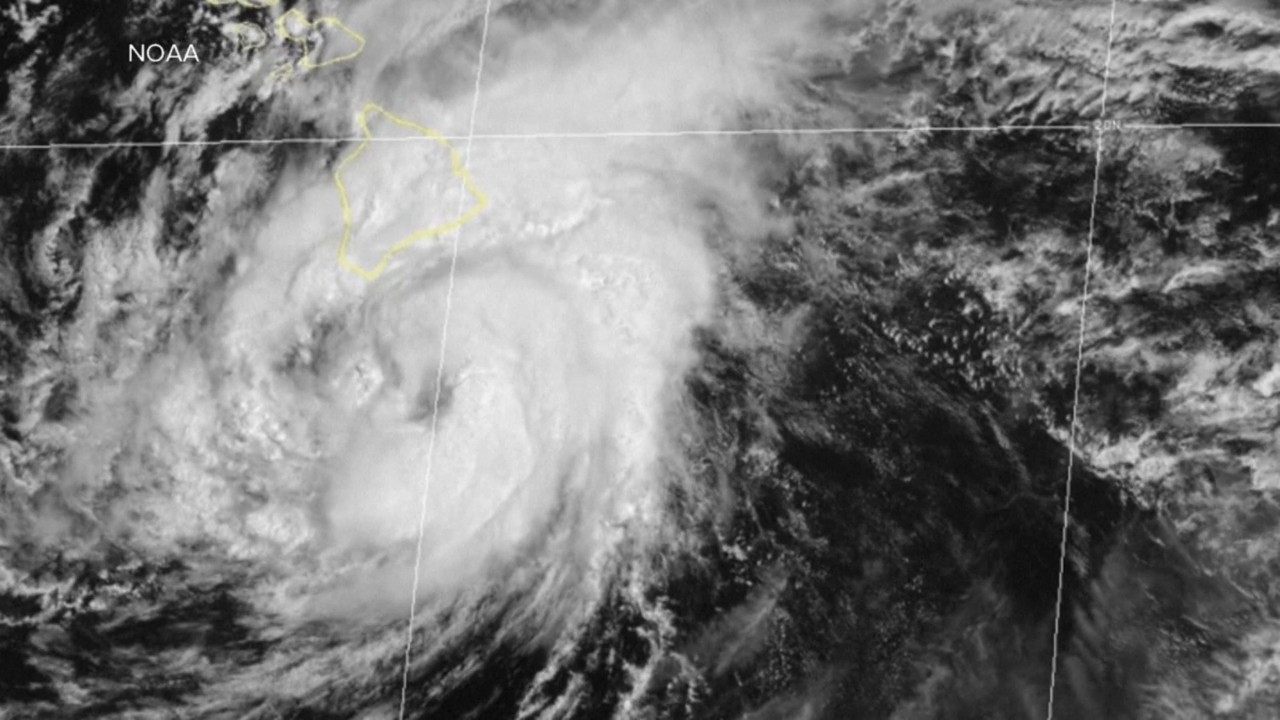
Tropics-Gulf of Mexico: A slow northwestward to west-northwestward motion is expected today followed by a turn westward by the middle part of this week. On the forecast track, Bertha will move near or along the northern Gulf coast during the next several days. Maximum sustained winds remain near 60 mph with higher gusts. Gradual weakening is expected through the middle of this week. Tropical-storm-force winds extend outward up to 80 miles (130 km) from the center.
Key Messages:
1. Bertha is expected to bring tropical storm conditions to portions of the Gulf Coast from Alabama westward to southeastern Louisiana tonight and Wednesday, where a Tropical Storm Warning is in effect. Tropical storm conditions are possible for portions of the Florida Panhandle, Metro New Orleans, and the southern Gulf Coast of Louisiana, where a Tropical Storm Watch is in effect.
2. A Storm Surge Watch is in effect for the Alabama, Mississippi, and southeastern Louisiana coasts, where a life-threatening storm surge is possible.
3. Interests elsewhere in Louisiana and Texas should monitor the progress of this system, as additional watches or warnings could be required for portions of that area later today.
4. Areas of flash flooding will be possible through Thursday along the Gulf Coast and adjacent inland locations from the Florida Big Bend region to southern Louisiana, with isolated instances of flash flooding possible westward into portions of the Texas coast later in the week.
Have a great night!
Cruz Medina