First Alert Day Friday


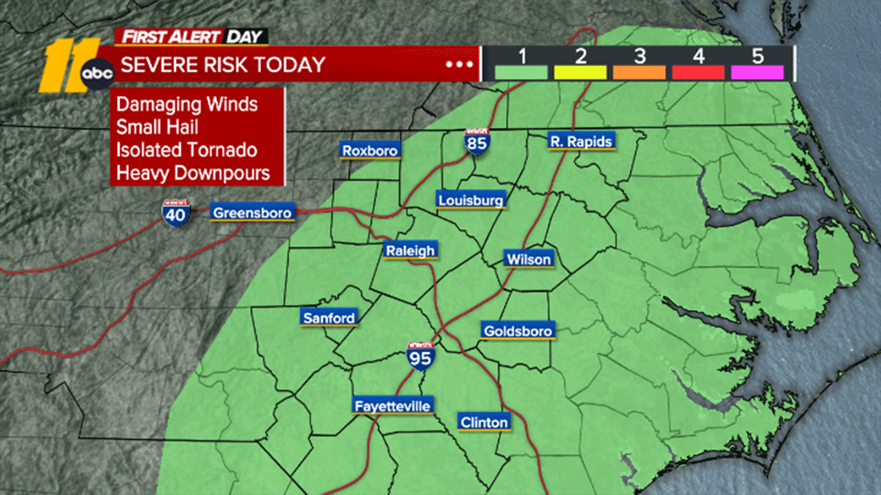
RALEIGH, N.C. (WTVD) -- Strong to severe thunderstorms, with hail and locally damaging wind gusts, will be possible Friday.
In the short term, showers will begin to move into the Triangle from the west this evening, with that chance remaining through the overnight, as an initial wave of moisture moves through.
A secondary, steadier period of rain is then expected tomorrow, and as the trough digs and heights falls, there can be enough oomph for a few thunderstorms with gusty winds and small hail (especially east of the Triangle), despite the chilly weather.
The core of the rain is expected to exit off to the north by evening, with drier, but cloudier weather ahead for Saturday and there can still be a stray shower.
The nicest stretch of weather in the forecast will come from late in the weekend into early next week, as temperatures quickly rebound as a ridge of high pressure builds in.
The mercury will go from the upper-60s on Sunday to the lower-80s on Monday. It will still be in the 70s on Tuesday, but another front will move through around then, bringing a small shower chance for a spotty shower and another drop in temperature for the middle of the new workweek.
Have a great evening!
Steve Stewart