Strong, severe marches across NC, leaving behind damage in some areas


RALEIGH, N.C. (WTVD) -- Damaging wind gusts were the greatest threat on Thursday.
A tornado struck in the western part of the state.
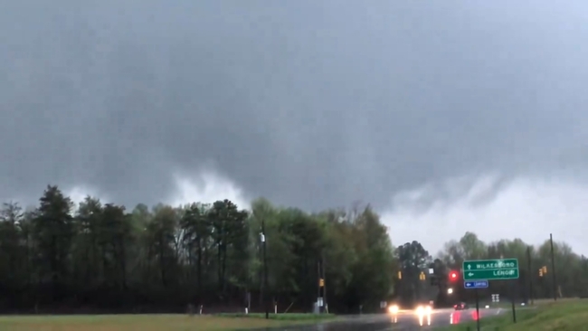
There were severe storms in Wilkes County, just east of Boone. The powerful winds damaged homes and businesses in the area, including a gas station.
There is no word yet if anyone is hurt.
LIVE | First Alert Doppler Radar Network
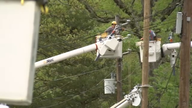
Around 1,000 people were also without power in the Sanford area as of 4 p.m.
An auto shop in Sanford lost its roof. Witnesses said strong wind gusts lifted it right off of Randy's Unlimited's on East Main Street and threw it into the middle of the street.
No cars were on the road when it happened -- and nobody was injured.
"It was scary, because I was just looking at it and I could just see the whole roof come up and I was like 'oh my gosh, it's going to hit the sales cars.' So we had to run out while it was raining and everything happened, move the sales cars. Our boss and the mechanic were back there trying to help move the roof out the way," Jessica Torres said.
Lee County also faced power outages, forcing four public schools to close at noon. The schools impacted include Lee County High School, Lee Early College, Tramway Elementary School, and Greenwood Elementary. Lee County Schools has yet to announce when these schools will resume classes.
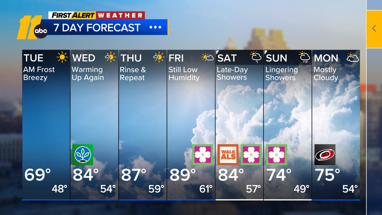
On Friday, the Triangle could be caught on the backside of the exiting system, which could make conditions unstable in the afternoon. That means there could be an isolated shower. Temperatures will be in the low 70s.
The weekend is expected to be warmer, with highs in the low 80s on Sunday and lots of sunshine.