Storms leave a mess in Cumberland County, throughout NC

Severe weather moved through much of central North Carolina Sunday evening as thunderstorms and heavy rain were seen throughout the viewing area. In Cumberland County's Gray's Creek area, the storms knocked down trees and branches, causing a mess.
ABC11 viewers sent in photos of the damage, including trees on houses and cars as well as damage to people's yards.
At one point, Duke Energy reported over 3,200 people without power in Wake County Sunday evening. It was restored within a few hours.
ABC11 Meteorologist Liz Horton said the threat of severe thunderstorms was due to a cold front pushing into the area.
The storms brought some heavy downpours as well as large hail and damaging wind gusts.
Predictor models showed the bulk of the storms moved through around dinner time and cleared around midnight.
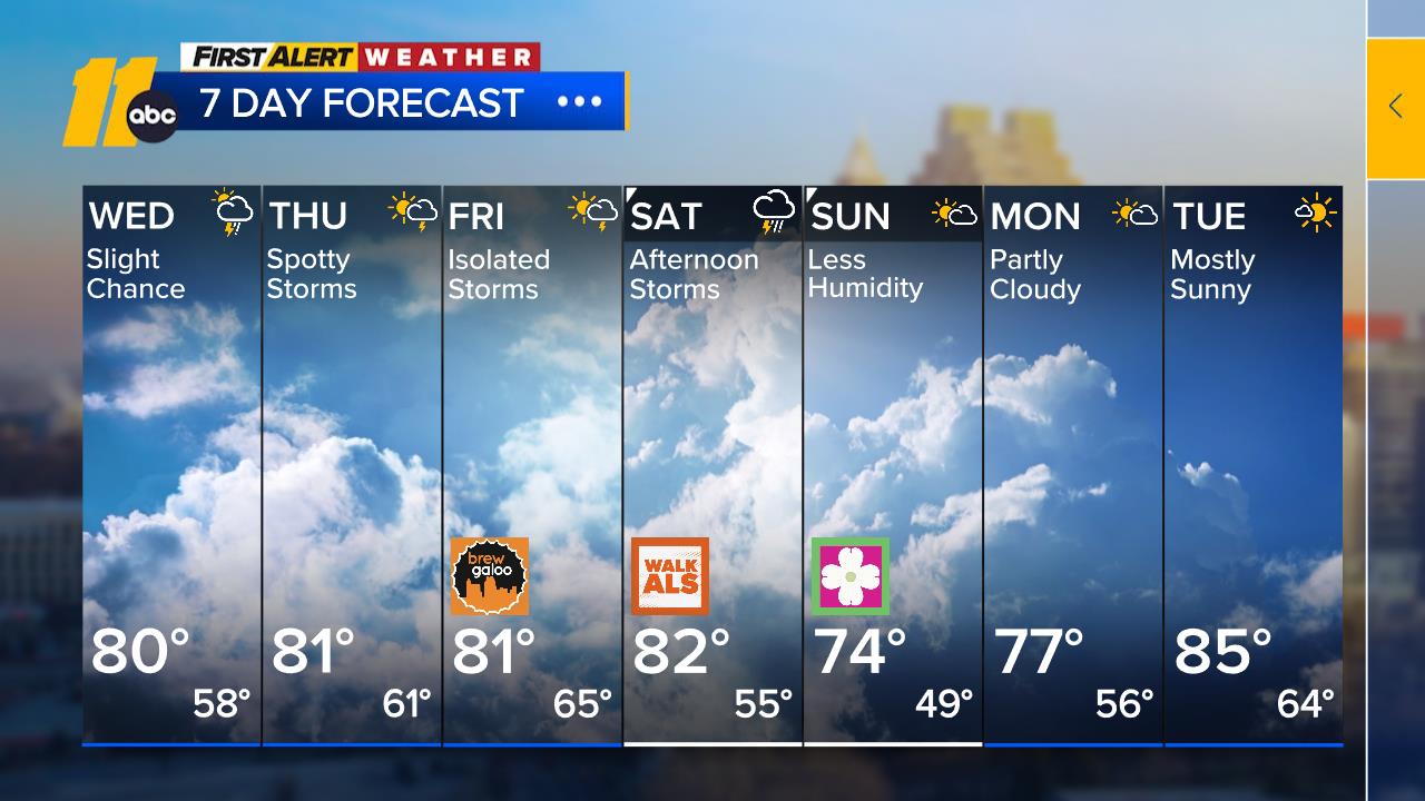
The front looks to stall off to the south with rainfall coming out of the Gulf of Mexico holding the front back. As the front stalls, we could see a few showers and thunderstorms around Monday, but most of that activity will be off from the Triangle on south. Until that front clears the area to the south on Tuesday, it will remain humid with the storm threat. By Tuesday afternoon, it will turn less humid with sunshine and a few clouds.
Click here for First Alert Doppler XP
Click here to view the latest weather advisories.
Click here to download the ABC11 First Alert Weather app.
Meanwhile, the tropics are getting active again!
A tropical storm warning is in effect for a large stretch of Florida's Gulf coast from Indian Pass in the northern Panhandle to Englewood south of Tampa.
The National Hurricane Center in Miami issued the warning before noon EDT Sunday. Tropical storm conditions - including heavy rain and strong wind - are expected to reach the area under the warning by Monday afternoon.
Isolated tornadoes are possible Monday afternoon in parts of Florida and southern Georgia.


