Passing showers today, isolated severe risk Wednesday

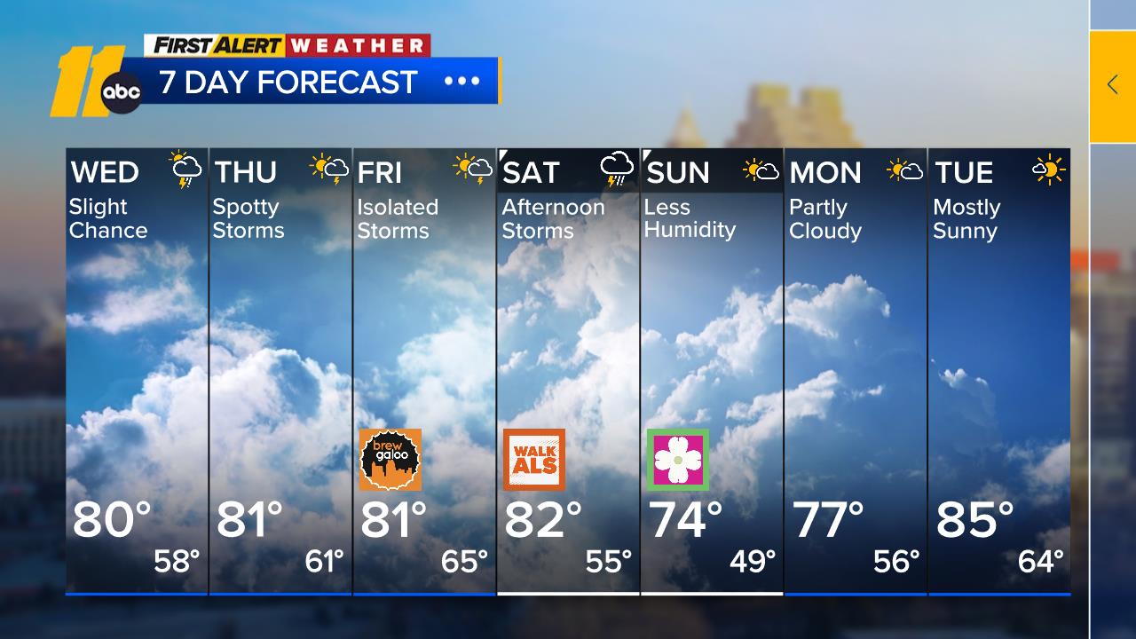
RALEIGH, N.C. (WTVD) -- First Alert Forecast: Temperatures this week will trend near or just below average with modest rain chances. A few passing showers will be possible today. A cold front will bring scattered showers and isolated storms Wednesday. A few isolated strong to severe storms may be possible Wednesday afternoon and evening.
Expect a mix of clouds and sun today, with a few passing showers as a weakening disturbance approaches from the west. Today's high will be pleasant, in the upper 60s to low 70s.
Attention then turns to Wednesday as a more organized disturbance and cold front move into the Mid-Atlantic. Low pressure tracking through the Ohio Valley will drag a cold front across the region later in the day. Scattered showers and isolated storms will develop. An isolated storm could turn strong-to-severe, which may lead to an isolated strong gust.
Totals will average around half an inch, with higher amounts in areas getting heavier downpours. Any bit of rainfall helps, but of course, it's not the 10-inch drought-busting rainfall we could use.
The front will exit on Thursday, and high pressure steps in, bringing a return to drier air and slightly lower temperatures. It'll feel a bit more comfortable heading into the end of the week with highs in the low 70s, just a
Behind the front, a drier and less humid airmass filters in for Thursday, with temperatures trending slightly lower into the end of the week.
The next chance of rain will be on Saturday as the front stalls to our south and a disturbance moves through the southeast. Models disagree on if a low forms off the NC coast, which is making the rainfall forecast uncertain.
Temperatures this week will trend near or just below average, with highs in the 60s and 70s and lows in the 40s and 50s.
Have a great day!
Cruz Medina


