Laura weakens to Tropical Storm; still tracking north across Louisiana

SHREVEPORT, La. (WTVD) -- Hurricane Laura made landfall Thursday morning in southwest Louisiana as an "extremely dangerous" Category 4 storm, forecasters said.
As of 1 p.m. EST, the National Hurricane Center reported Laura had been downgraded to a Tropical Storm with maxiumum sustained winds of 70 mph.
Laura is moving north at 15 mph, a brisk pace and good news for keeping rain totals down. The eye is about 50 miles east-southeast of Shreveport, Louisiana.
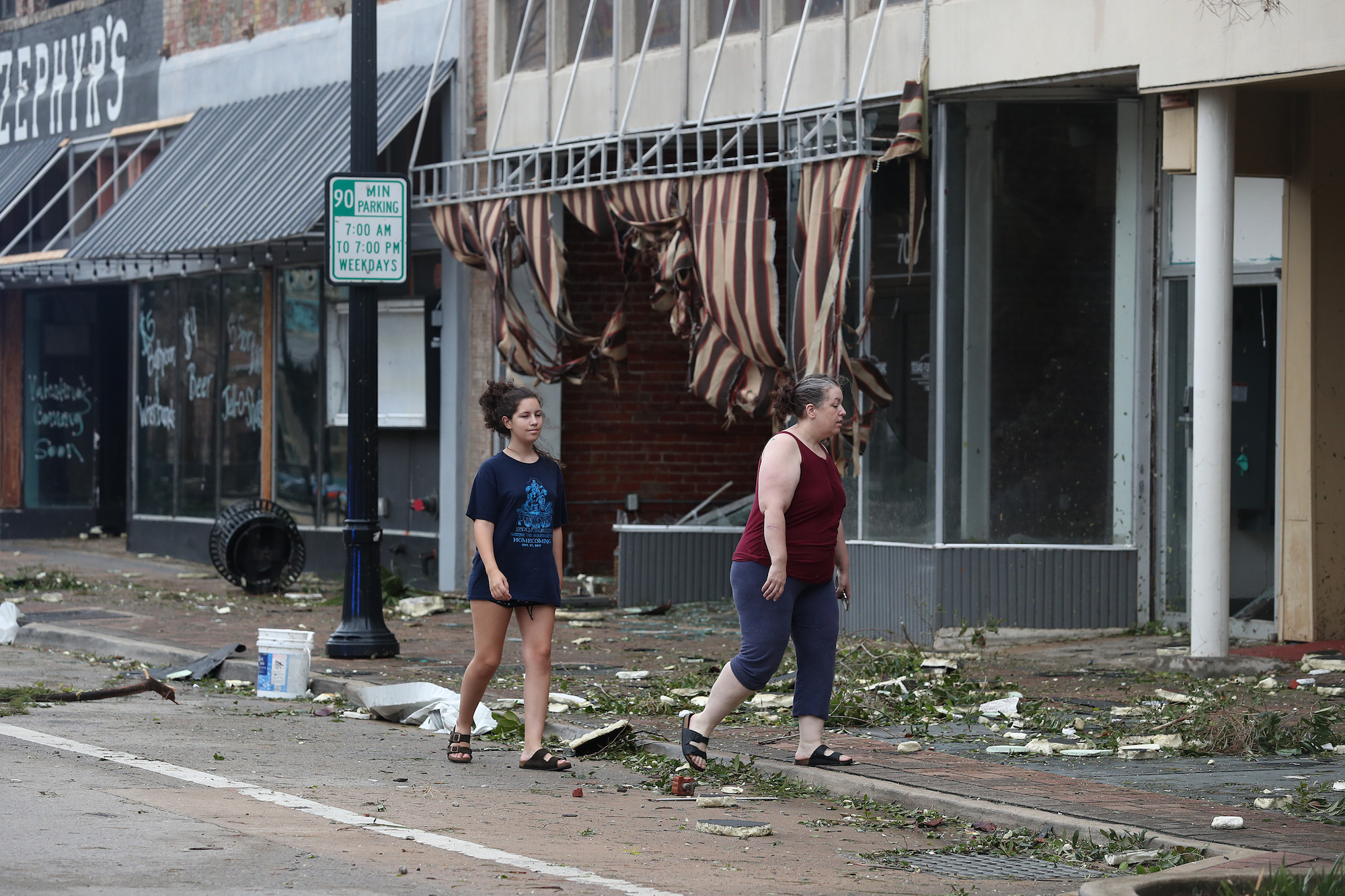
WATCH: Damage caused by Laura during landfall

Laura is now responsible for at least one US death, a 14-year-old girl killed by a falling tree in Vernon Parish, Louisiana.
The National Hurricane Center said the storm made landfall near Cameron, Louisiana, around 2 a.m. It was a Category 4 storm with maximum sustained winds of 150 mph (240 kph), making it the most powerful hurricane to strike the U.S. so far this year.
The storm's power has raised fears of a 20-foot (6-meter) storm surge that forecasters say would be "unsurvivable" and capable of sinking entire communities on the Texas and Louisiana coast. The surge could penetrate up to 40 miles inland from the coastline.
Hundreds of thousands of homes and businesses are without power in Louisiana and Texas. Some of those communities could be without power for weeks, according to local officials.
Hurricane-force winds continued through the morning, with forecasters downgrading Laura to a Category 1 storm by 11 a.m. EST.

Hurricane categories: Learn what the numbers mean
Before the storm became a hurricane, Laura was blamed for 11 deaths in the Dominican Republic and Haiti, where the storm knocked out power and caused major flooding.

Laura is expected to eventually weaken to a post-tropical depression and work its way through the Ohio River Valley. It could eventually race east across Tennessee, Virginia and North Carolina, dumping heavy rain along its way.
WATCH: What is the Saffir-Simpson scale for hurricanes

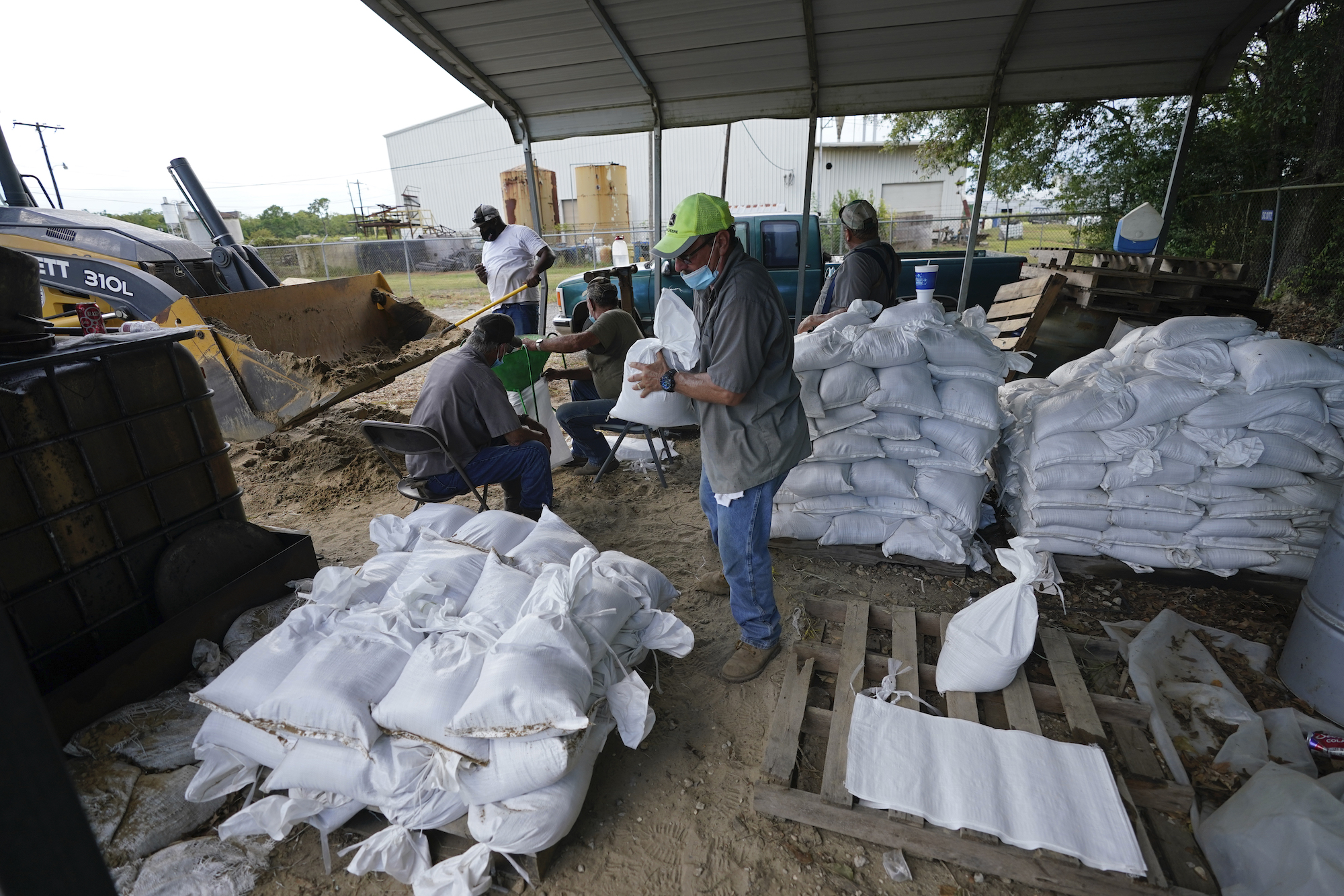
Storm Ready 2020: Preparing in a Pandemic

WATCH: Preparing your hurricane kit during COVID-19


