Feels-like temperatures dropped as low as 5 degrees overnight, but highs of 70 possible next week

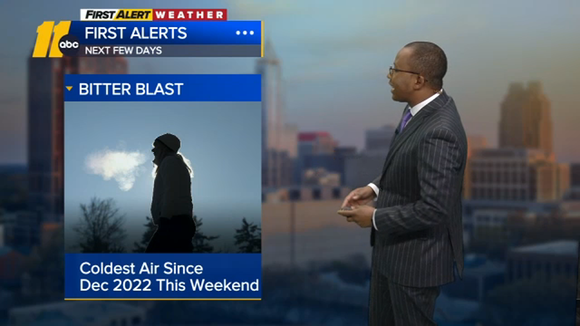
RALEIGH, N.C. (WTVD) -- The coldest air of the season, so far, arrived overnight and part of the viewing area could see a little snow this week.
Feels-like temperatures ranged from 5 to 15 degrees Wednesday morning.
Highs will only get into the upper 30s and low 40s Wednesday afternoon, but the feels-like temps will remain in the 20s.
Wednesday night won't be as cold, but temperatures will still be in the upper teens and low 20s.
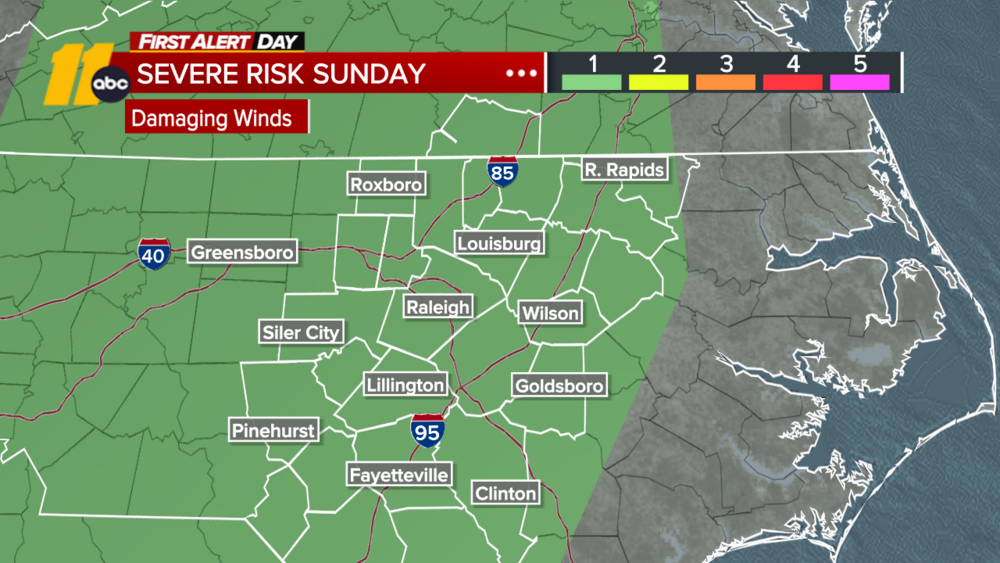
A weak system swings through central North Carolina late Thursday into early Friday. It will be a cold rain for most with a mix of rain and snow near the Virginia line. Person County has the best chance of seeing some of the white stuff.
If you're fed up with this blast of winter, just be patient. Spring-like highs will return next week with 70s possible Thursday and Friday.
Freezing conditions across the region
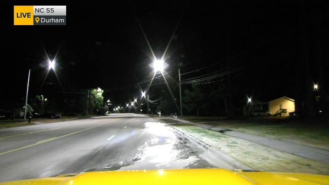
On Tuesday night, slick spots were already visible on roadways.
In southern Durham, a salt truck responded to a slick spot on Clayton Road and Funderburk Way, just south of Cheek Road.
With the temperatures well below freezing, slippery roads and black ice are things to keep an eye on this week.
Multiple school districts had openings delayed because of the frigid conditions. Wake County, Durham County and Orange County schools were all delayed Wednesday morning. Granville, Person and Vance counties were on a two-hour delay.